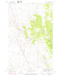
1961 Map of Coburn Mountain
USGS Topo · Published 1979About this map
The Dearborn River cuts through this landscape along the boundary of Lewis And Clark Co and Cascade Co, defining a region shaped by ranching and mountain geography. Settlers and ranch hands at the Dearborn Ranch lived in the shadow of prominent peaks like Elephant Mountain and Coburn Mountain. The map reveals the infrastructure of early mid-century rural life, including the Sevenmile Sch located along Sevenmile Road and the Dearborn Cem situated near a small Mine. Water management and transportation are central to the area's development, evidenced by the Pumping Station, a Gaging Sta on the river, and the long Pipeline that traverses the terrain near Flat Creek Road. The presence of The Reef and numerous coulees like Twin Bridge Coulee illustrates the complex drainage patterns of this high-country terrain.
Find a feature on this map
22 named features on this map. Tap any name to fly to it.
Don’t see what you’re looking for? This feature index may not catch every label — zoom into the map to look around manually.
Map Details
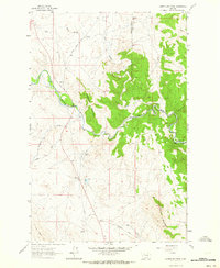
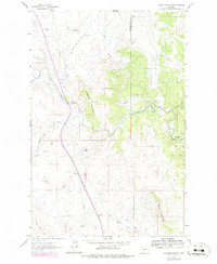
Editions of this 1961 Coburn Mountain Map
3 editions found
Other maps of this area

1886 · Great Falls
USGS Topo · 1:250,000

1943 · Hogan
USGS Topo · 1:125,000

1954 · Great Falls
USGS Topo · 1:250,000

1955 · Choteau
USGS Topo · 1:250,000

1957 · Choteau
USGS Topo · 1:250,000

1957 · Great Falls
USGS Topo · 1:250,000

1958 · Choteau
USGS Topo · 1:250,000

1960 · Simms
USGS Topo · 1:62,500

1961 · Craig
USGS Topo · 1:24,000
1961 · Roberts Mountain
USGS Topo · 1:24,000