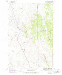
1961 Map of Coburn Mountain
USGS Topo · Published 1979About this map
The Dearborn River carves a winding path through the borderlands of Cascade and Lewis and Clark counties, where ranching and early infrastructure define the mountain landscape. The presence of the Dearborn Ranch and the Dearborn Cem reflects a community anchored to this river valley. Prominent terrain features like the long ridge of Elephant Mountain and the craggy formation of The Reef dominate the western half of the sheet, while Coburn Mountain rises to the southeast. Technical development is evident in the 1960s landscape, seen in the pipeline corridor and a Pumping Station situated near the river. Along the Sevenmile Road, the Sevenmile Sch stands as a vital touchstone for local history, marking the site of early rural education in this high-plains transition zone.
Find a feature on this map
22 named features on this map. Tap any name to fly to it.
Don’t see what you’re looking for? This feature index may not catch every label — zoom into the map to look around manually.
Map Details
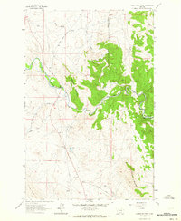
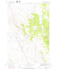
Editions of this 1961 Coburn Mountain Map
3 editions found
Other maps of this area

1886 · Great Falls
USGS Topo · 1:250,000

1943 · Hogan
USGS Topo · 1:125,000

1954 · Great Falls
USGS Topo · 1:250,000

1955 · Choteau
USGS Topo · 1:250,000

1957 · Choteau
USGS Topo · 1:250,000

1957 · Great Falls
USGS Topo · 1:250,000

1958 · Choteau
USGS Topo · 1:250,000

1960 · Simms
USGS Topo · 1:62,500

1961 · Craig
USGS Topo · 1:24,000
1961 · Roberts Mountain
USGS Topo · 1:24,000