
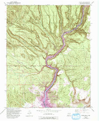
1953 Map of Cochiti Dam
USGS Topo · Published 1954About this map
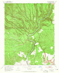
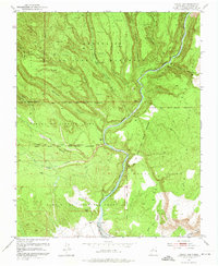
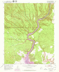
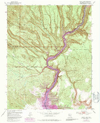
Bland and numerous Pueblo Ruins are situated within a complex landscape of deep canyons and mesa tops in this early 1950s survey. The Rio Grande carves through the center, passing through White Rock Canyon and moving southward toward the Cochiti Dam. The map documents a significant intersection of historical land grants, including the Cañada de Cochiti Grant, Pueblo de Cochiti Grant, and La Majada Grant.
Find a feature on this map
66 named features on this map. Tap any name to fly to it.
Don’t see what you’re looking for? This feature index may not catch every label — zoom into the map to look around manually.
Map Details
Editions of this 1953 Cochiti Dam Map
6 editions found
Other maps of this area

1892 · Santa Clara
USGS Topo · 1:125,000

1952 · White Rock
USGS Topo · 1:24,000

1952 · Frijoles
USGS Topo · 1:24,000

1952 · Montoso Peak
USGS Topo · 1:24,000

1953 · Santo Domingo Pueblo
USGS Topo · 1:24,000

1953 · Bland
USGS Topo · 1:24,000

1953 · Tetilla Peak
USGS Topo · 1:24,000

1953 · Santo Domingo Pueblo SW
USGS Topo · 1:24,000

1953 · Canada
USGS Topo · 1:24,000

1953 · Agua Fria
USGS Topo · 1:62,500