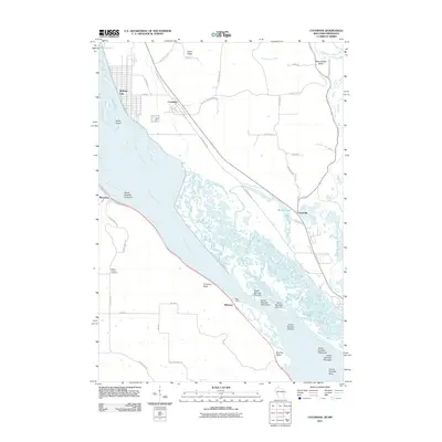
2011 Map of Cochrane
USGS Topo · Published 2011About this map
Mississippi River islands and complex backwater sloughs dominate this landscape along the Wisconsin and Minnesota border. The river's braided channel is punctuated by a numbered series of landforms including Island Number Forty-nine, Island Number Fifty-two, and Island Number Sixty. On the Wisconsin side, the riverbank settlements of Buffalo City and Cochrane are connected by a local road network that skirts the edge of the Waumandee Valley and Huber Ridge.
Find a feature on this map
48 named features on this map. Tap any name to fly to it.
Don’t see what you’re looking for? This feature index may not catch every label — zoom into the map to look around manually.
Map Details
Editions of this 2011 Cochrane Map
This is the sole edition of this map. No revisions or reprints were ever made.
Other maps of this area

1929 · Fountain City
USGS Topo · 1:62,500

1932 · Cochrane
USGS Topo · 1:62,500

1932 · Gilmanton
USGS Topo · 1:62,500

1932 · Alma
USGS Topo · 1:62,500

1934 · Winona
USGS Topo · 1:62,500

1934 · Cochrane
USGS Topo · 1:62,500

1937 · Winona
USGS Topo · 1:62,500

1937 · Cochrane
USGS Topo · 1:62,500

1950 · Alma
USGS Topo · 1:62,500

1953 · Eau Claire
USGS Topo · 1:250,000