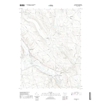
2019 Map of Cochranton
USGS Topo · Published 2019About this map
Cochranton serves as the focal point of this rural Crawford County landscape, where the waters of French Creek and Little Sugar Creek converge. The settlement pattern is defined by several historic crossroads such as Shaws Corners and Kantz Corners, while the northern hills are marked by the small community of Frenchtown. This area is particularly rich for genealogical research, documenting numerous small burial grounds and religious sites including Saint Hippolyte Church Cem and the Saint Peter and Paul Roman Catholic Cem. The terrain rises from the creek valleys toward prominent elevations like Round Knob and Pine Knoll, with a network of local routes like Franklin Pike and Meadville Rd connecting the scattered farmsteads. Smaller watercourses like Conneaut Outlet and Mud Run further carve the topography, illustrating the drainage patterns that have shaped land use in this part of Pennsylvania for generations.
Find a feature on this map
113 named features on this map. Tap any name to fly to it.
Don’t see what you’re looking for? This feature index may not catch every label — zoom into the map to look around manually.
Map Details
Editions of this 2019 Cochranton Map
This is the sole edition of this map. No revisions or reprints were ever made.
Other maps of this area

1909 · Franklin
USGS Topo · 1:62,500

1911 · Franklin
USGS Topo · 1:62,500

1911 · Stoneboro
USGS Topo · 1:62,500

1913 · Stoneboro
USGS Topo · 1:62,500

1923 · Meadville
USGS Topo · 1:62,500

1925 · Meadville
USGS Topo · 1:62,500

1927 · Townville
USGS Topo · 1:48,000

1932 · Townville
USGS Topo · 1:62,500

1943 · Meadville
USGS Topo · 1:62,500

1943 · Stoneboro
USGS Topo · 1:62,500