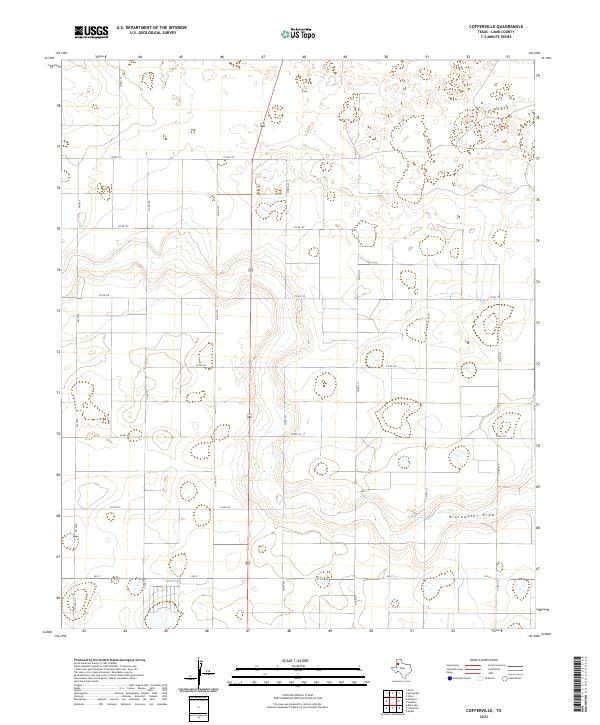
2022 Map of Cofferville
USGS Topo · Published 2022About this map
Blackwater Draw cuts across the southern portion of this South Plains landscape, representing the most significant natural topographic feature in an area otherwise defined by a highly organized agricultural grid. This Lamb County terrain is partitioned by a dense network of local routes, including Fm 2479 and Co Rd 182, which reflect the region's systematic land division and reliance on road transport for large-scale farming operations. While modern in its production, the map meticulously documents the persistent rural infrastructure of the Llano Estacado. The intersection of state-maintained roads like Fm 37 with numerous numbered county roads illustrates the connectivity required to manage this expansive, relatively flat environment where the drainage of the draw provides the only major break in the horizontal horizon.
Find a feature on this map
17 named features on this map. Tap any name to fly to it.
Don’t see what you’re looking for? This feature index may not catch every label — zoom into the map to look around manually.
Map Details
Editions of this 2022 Cofferville Map
This is the sole edition of this map. No revisions or reprints were ever made.
Other maps of this area

1954 · Clovis
USGS Topo · 1:250,000

1954 · Brownfield
USGS Topo · 1:250,000

1957 · Anton
USGS Topo · 1:62,500

1958 · Brownfield
USGS Topo · 1:250,000

1958 · Clovis
USGS Topo · 1:250,000

1962 · Brownfield
USGS Topo · 1:250,000

1962 · Amherst
USGS Topo · 1:24,000

1962 · Cofferville
USGS Topo · 1:24,000

1962 · Springlake
USGS Topo · 1:24,000

1962 · Fieldton
USGS Topo · 1:24,000