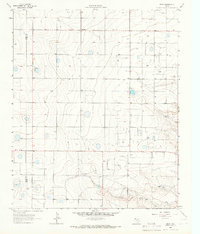
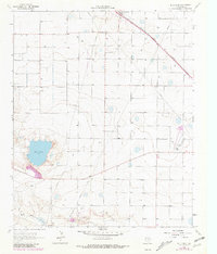
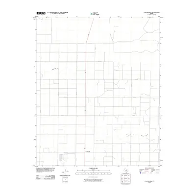
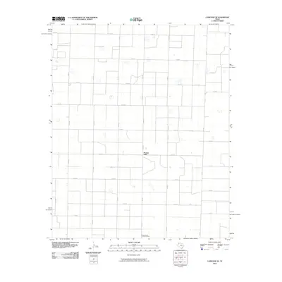
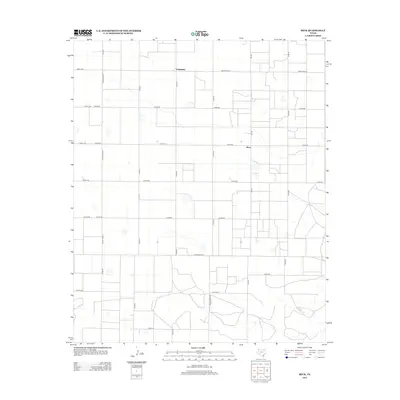
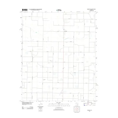
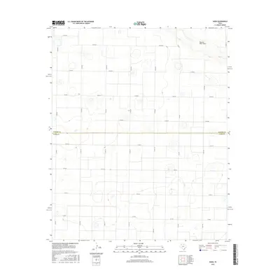
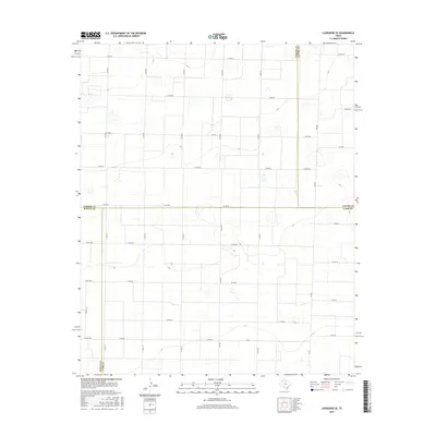
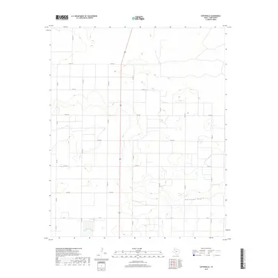
1962 Map of Cofferville
USGS Topo · Published 1981About this map
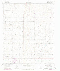
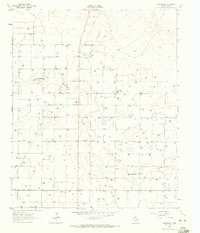
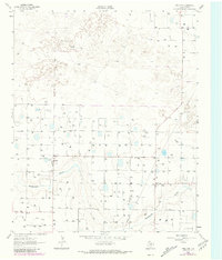
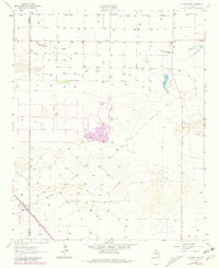
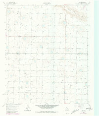
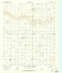
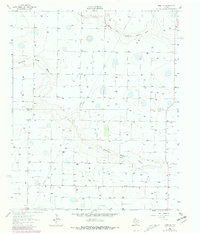
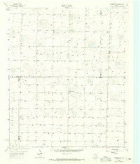
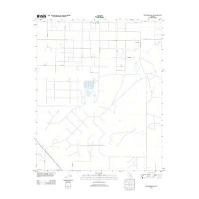
Cofferville and the surrounding agricultural lands of Lamb County are captured here during a period of steady ranching and water resource management in the 1960s. The landscape is dominated by the broad, low-lying drainage of Blackwater Draw, which meanders across the territory. This map records the rural community life centered around the Rocky Ford Ch, while also documenting the industrial footprint of the era through a significant Feedlot and several localized Sandpits. The presence of multiple Pipe Lines and numerous well sites indicates the intensifying energy and irrigation infrastructure typical of the Llano Estacado. These details illustrate a transition toward more intensive land use, where traditional cattle ranching and modern resource extraction began to share the West Texas plains.
Find a feature on this map
8 named features on this map. Tap any name to fly to it.
Don’t see what you’re looking for? This feature index may not catch every label — zoom into the map to look around manually.
Map Details
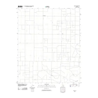
Editions of this 1962 Cofferville Map
2 editions found
Historical Maps of Cofferville Through Time
55 maps found
1962 Cofferville
Lamb County, TX
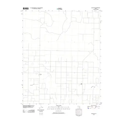
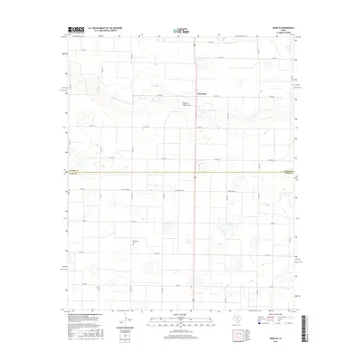
1962 Fieldton
Lamb County, TX
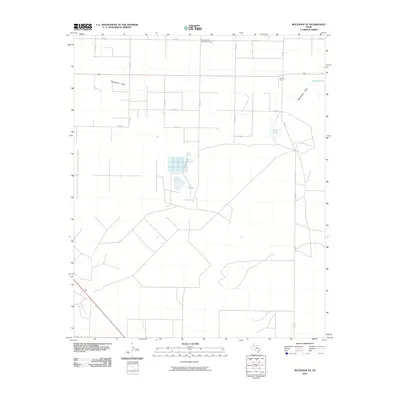
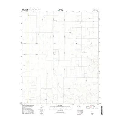
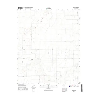
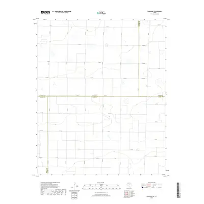
1962 Muleshoe NE
Lamb County, TX
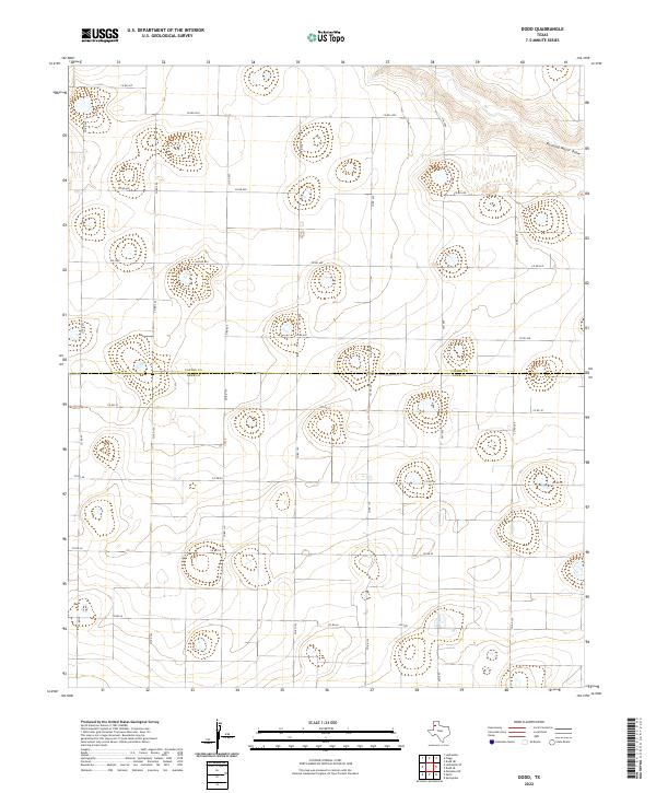
1963 Dodd
Lamb County, TX
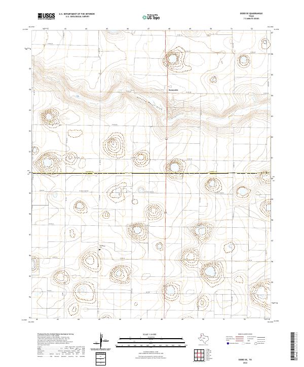
1963 Dodd SE
Lamb County, TX
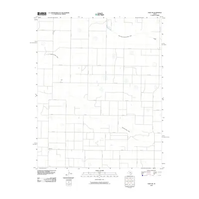
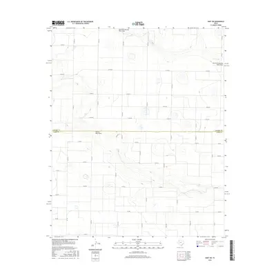
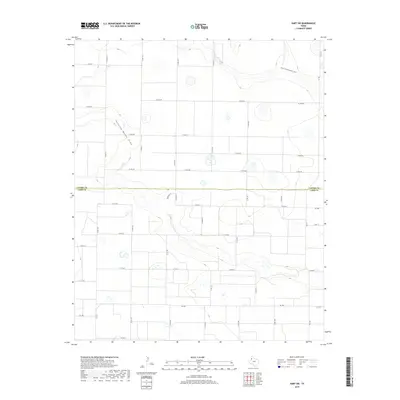
1963 Hart SW
Lamb County, TX
1963 Lazbuddie SE
Lamb County, TX
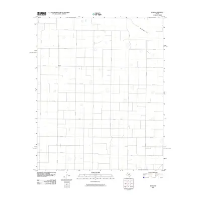
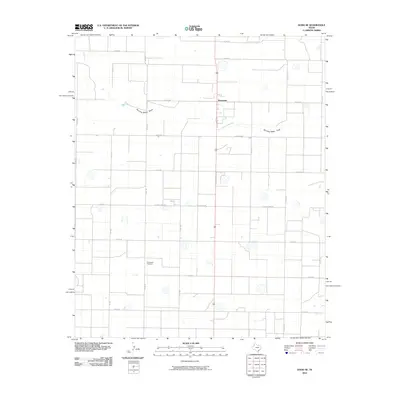
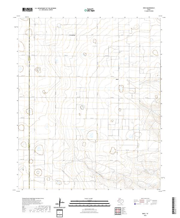
1964 Beck
Lamb County, TX
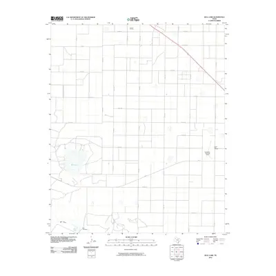
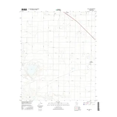
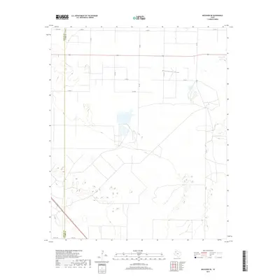
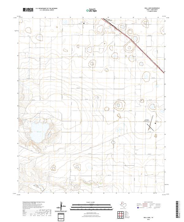
1964 Bull Lake
Lamb County, TX
1976 Anton NW
Lamb County, TX
2010 Beck
Lamb County, TX
2010 Bull Lake
Lamb County, TX
2010 Cofferville
Lamb County, TX
2010 Dodd
Lamb County, TX
2010 Dodd SE
Lamb County, TX
2010 Fieldton
Lamb County, TX
2010 Hart SW
Lamb County, TX
2010 Lazbuddie SE
Lamb County, TX
2010 Muleshoe NE
Lamb County, TX
2012 Beck
Lamb County, TX
2012 Bull Lake
Lamb County, TX
2012 Cofferville
Lamb County, TX
2012 Dodd
Lamb County, TX
2012 Dodd SE
Lamb County, TX
2012 Fieldton
Lamb County, TX
2012 Hart SW
Lamb County, TX
2012 Lazbuddie SE
Lamb County, TX
2012 Muleshoe NE
Lamb County, TX
2016 Beck
Lamb County, TX
2016 Bull Lake
Lamb County, TX
2016 Cofferville
Lamb County, TX
2016 Dodd
Lamb County, TX
2016 Dodd SE
Lamb County, TX
2016 Fieldton
Lamb County, TX
2016 Hart SW
Lamb County, TX
2016 Lazbuddie SE
Lamb County, TX
2016 Muleshoe NE
Lamb County, TX
2019 Beck
Lamb County, TX
2019 Bull Lake
Lamb County, TX
2019 Cofferville
Lamb County, TX
2019 Dodd
Lamb County, TX
2019 Dodd SE
Lamb County, TX
2019 Fieldton
Lamb County, TX
2019 Hart SW
Lamb County, TX
2019 Lazbuddie SE
Lamb County, TX
2019 Muleshoe NE
Lamb County, TX
2022 Beck
Lamb County, TX
2022 Bull Lake
Lamb County, TX
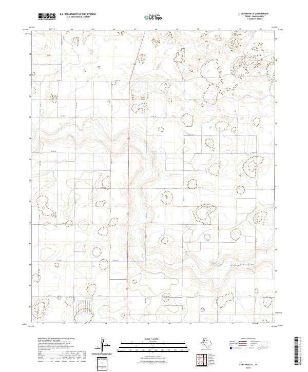
2022 Cofferville
Lamb County, TX
2022 Dodd
Lamb County, TX
2022 Dodd SE
Lamb County, TX
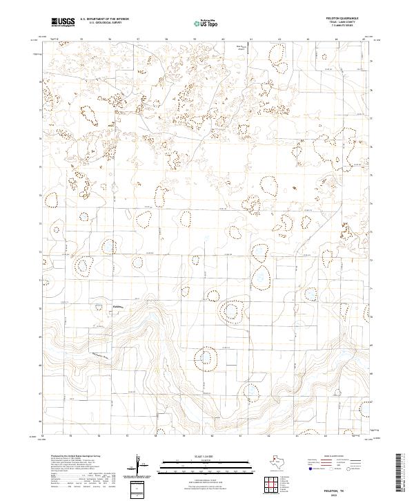
2022 Fieldton
Lamb County, TX
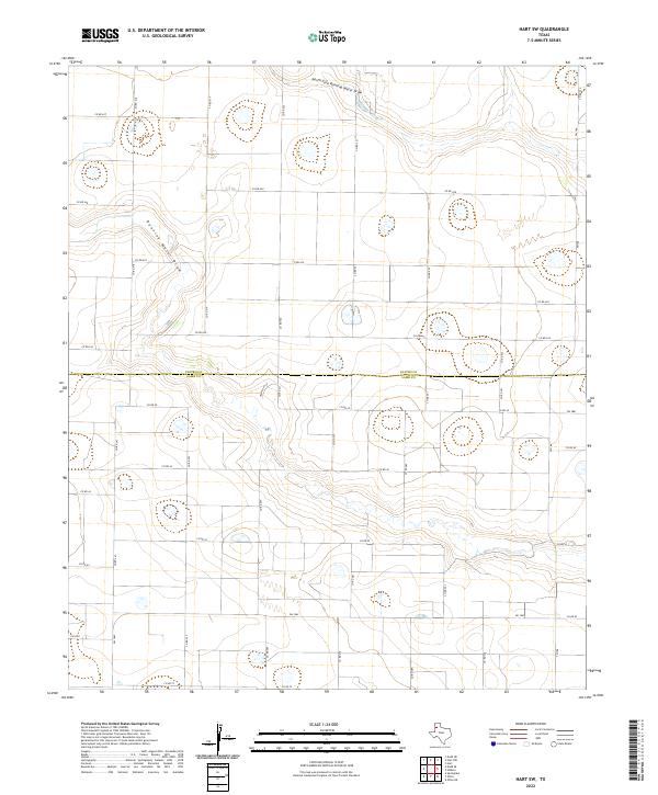
2022 Hart SW
Lamb County, TX
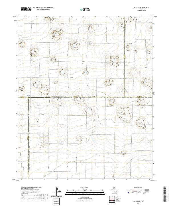
2022 Lazbuddie SE
Lamb County, TX
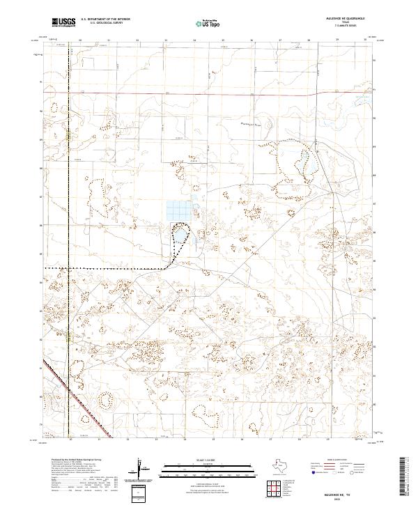
2022 Muleshoe NE
Lamb County, TX