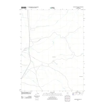
2012 Map of Coffin Mountain
USGS Topo · Published 2012About this map
Slagowski Ranch and the waters of Willow Creek define the northern landscape of this Elko County quadrangle. The area's ranching heritage is mapped through family-named landmarks and essential water sources, such as the Carlotti Ranch Springs and the thermal features of Hot Springs along Hot Creek. The terrain is marked by significant topographical shifts, moving from the depths of Copper Canyon to the elevation of Coffin Mountain in the southeast corner. A sparse network of unpaved transit ways, including Indian Pony Rd and the Sadler-Sir Union road, connects these remote outposts. This survey captures a specific moment in the rural management of the Great Basin, where seasonal watercourses like Pony Creek and Dry Creek dictate the utility of the land for cattle and habitation.
Find a feature on this map
13 named features on this map. Tap any name to fly to it.
Don’t see what you’re looking for? This feature index may not catch every label — zoom into the map to look around manually.
Map Details
Editions of this 2012 Coffin Mountain Map
This is the sole edition of this map. No revisions or reprints were ever made.
Other maps of this area

1934 · Jiggs
USGS Topo · 1:125,000

1937 · Mineral Hill
USGS Topo · 1:48,000

1937 · Jiggs
USGS Topo · 1:125,000

1943 · Mineral Hill
USGS Topo · 1:62,500

1952 · Pine Valley
USGS Topo · 1:62,500

1955 · Winnemucca
USGS Topo · 1:250,000

1955 · Elko
USGS Topo · 1:250,000

1956 · Robinson Mtn
USGS Topo · 1:62,500

1958 · Winnemucca
USGS Topo · 1:250,000

1958 · Elko
USGS Topo · 1:250,000