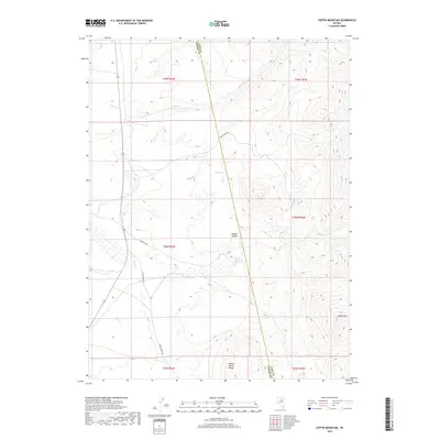
2018 Map of Coffin Mountain
USGS Topo · Published 2018About this map
Sulphur Spring Range defines the high-desert topography of this region, where the border between Elko County and Eureka County bisects the landscape. The environment is characterized by the presence of vital water sources in an otherwise arid basin, notably the Hot Springs and the Carlotti Ranch Springs. These points of permanent water likely dictated the historic travel routes through the area, such as Indian Pony Rd and Union Summit Rd. The prominent peak of Coffin Mtn stands as a landmark in the southeastern corner, overlooking the confluence of drainages like Willow Cr and Pony Cr. Further north, Copper Canyon cuts through the terrain, illustrating the geological processes that shaped this portion of the Great Basin during a period of modern ranching and grazing utility.
Find a feature on this map
19 named features on this map. Tap any name to fly to it.
Don’t see what you’re looking for? This feature index may not catch every label — zoom into the map to look around manually.
Map Details
Editions of this 2018 Coffin Mountain Map
This is the sole edition of this map. No revisions or reprints were ever made.
Other maps of this area

1934 · Jiggs
USGS Topo · 1:125,000

1937 · Mineral Hill
USGS Topo · 1:48,000

1937 · Jiggs
USGS Topo · 1:125,000

1943 · Mineral Hill
USGS Topo · 1:62,500

1952 · Pine Valley
USGS Topo · 1:62,500

1955 · Winnemucca
USGS Topo · 1:250,000

1955 · Elko
USGS Topo · 1:250,000

1956 · Robinson Mtn
USGS Topo · 1:62,500

1958 · Winnemucca
USGS Topo · 1:250,000

1958 · Elko
USGS Topo · 1:250,000