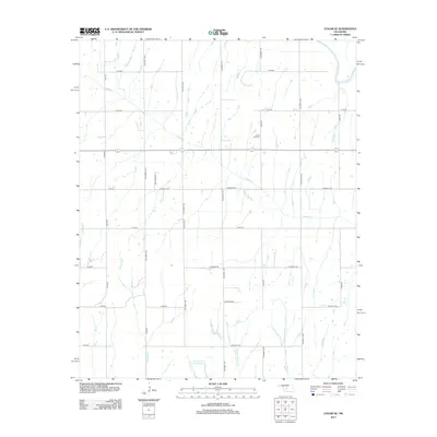
2012 Map of Cogar SE
USGS Topo · Published 2012About this map
Center View Cem stands at the center of this rural landscape, marking a point of intersection in Canadian County's agricultural grid. The northeast corner of the map is defined by the winding course of the Canadian River, while the rest of the terrain is dissected by a dense network of drainage systems, including the long reach of Buggy Creek and the divergent branches of W Jack Hollow Creek and E Jack Hollow Creek.
Find a feature on this map
31 named features on this map. Tap any name to fly to it.
Don’t see what you’re looking for? This feature index may not catch every label — zoom into the map to look around manually.
Map Details
Editions of this 2012 Cogar SE Map
This is the sole edition of this map. No revisions or reprints were ever made.
Other maps of this area

1893 · Buggy Creek
USGS Topo · 1:62,500

1893 · Minco
USGS Topo · 1:62,500

1904 · Chickasha
USGS Topo · 1:125,000

1945 · Anadarko
USGS Topo · 1:62,500

1954 · Oklahoma City
USGS Topo · 1:250,000

1955 · Clinton
USGS Topo · 1:250,000

1957 · Clinton
USGS Topo · 1:250,000

1957 · Oklahoma City
USGS Topo · 1:250,000

1963 · Oklahoma City
USGS Topo · 1:250,000
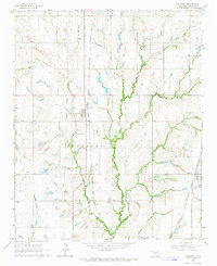
1966 · Pocasset
USGS Topo · 1:24,000