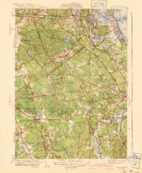
1941 Map of Cohasset
USGS Topo · Published 1941About this map
Whitney Woods and the granite coastal terrain define this 1930s landscape, captured just before mid-century suburbanization reshaped the South Shore. The map details a complex network of coastal settlements and inland crossroads, including Scituate Center, Assinippi, and Beechwood. Land use is distinctly transitional, with preserved estates and institutional landmarks like the Childrens Hospital and the prominent Lawson Tower standing near established cemeteries such as Groveland Cem.
Find a feature on this map
101 named features on this map. Tap any name to fly to it.
Don’t see what you’re looking for? This feature index may not catch every label — zoom into the map to look around manually.
Map Details
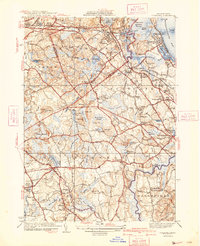
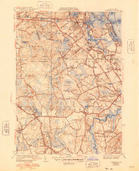
Editions of this 1941 Cohasset Map
3 editions found
Other maps of this area

1885 · Abington
USGS Topo · 1:62,500

1885 · Duxbury
USGS Topo · 1:62,500

1888 · Duxbury
USGS Topo · 1:62,500

1888 · Abington
USGS Topo · 1:62,500

1892 · Boston Bay
USGS Topo · 1:62,500

1893 · Abington
USGS Topo · 1:62,500

1893 · Duxbury
USGS Topo · 1:62,500

1903 · Boston Bay
USGS Topo · 1:62,500

1918 · Duxbury
USGS Topo · 1:62,500

1920 · Abington
USGS Topo · 1:62,500