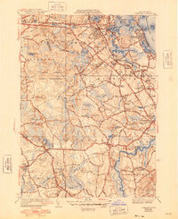
1941 Map of Cohasset
USGS Topo · Published 1948About this map
The Old Oaken Bucket Homestead stands as a focal point in this coastal Massachusetts landscape, situated near Greenbush and the waters of Old Oaken Bucket Pond. This mid-century survey illustrates the intricate interface between sea and land, where the New York New Haven and Hartford Railroad threads through towns like Cohasset and North Scituate. The interior is defined by a dense network of marshes and water bodies, including Black Pond Swamp and Jacobs Pond, alongside significant institutional holdings such as the United States Naval Reservation. Local transit is anchored by the Chief Justice Cushing Highway, which connects the established coastal settlements. Genealogists and historians will find value in the detailed plotting of community hubs like Scituate Center and Norwell, as well as several local landmarks including St James Ch and the Woodside Cem.
Find a feature on this map
98 named features on this map. Tap any name to fly to it.
Don’t see what you’re looking for? This feature index may not catch every label — zoom into the map to look around manually.
Map Details
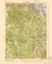
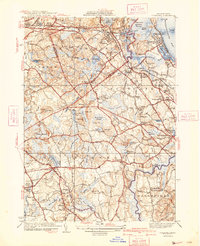
Editions of this 1941 Cohasset Map
3 editions found
Other maps of this area

1885 · Abington
USGS Topo · 1:62,500

1885 · Duxbury
USGS Topo · 1:62,500

1888 · Duxbury
USGS Topo · 1:62,500

1888 · Abington
USGS Topo · 1:62,500

1892 · Boston Bay
USGS Topo · 1:62,500

1893 · Abington
USGS Topo · 1:62,500

1893 · Duxbury
USGS Topo · 1:62,500

1903 · Boston Bay
USGS Topo · 1:62,500

1918 · Duxbury
USGS Topo · 1:62,500

1920 · Abington
USGS Topo · 1:62,500