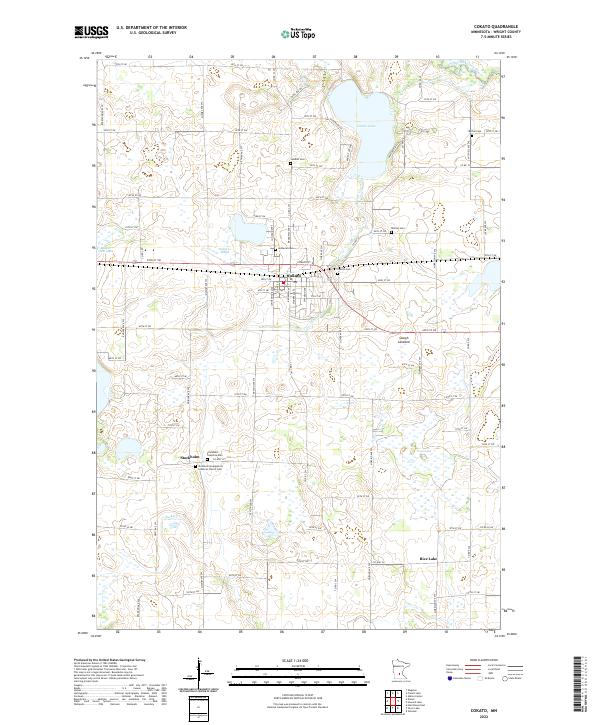
2022 Map of Cokato
USGS Topo · Published 2022About this map
Cokato sits at the center of this landscape, characterized by the glacial depressions and wetlands common to Wright County. The town layout is defined by Cokato St E and Broadway Ave N, serving as a regional hub for the surrounding agricultural community. To the north, Cokato Lake and the meandering Sucker Cr dominate the drainage pattern, while the presence of the Slough Lakebed and Dahlgren Slough illustrate the varying water table of the region.
Find a feature on this map
86 named features on this map. Tap any name to fly to it.
Don’t see what you’re looking for? This feature index may not catch every label — zoom into the map to look around manually.
Map Details
Editions of this 2022 Cokato Map
This is the sole edition of this map. No revisions or reprints were ever made.
Other maps of this area

1953 · New Ulm
USGS Topo · 1:250,000

1953 · Saint Cloud
USGS Topo · 1:250,000

1957 · Saint Cloud
USGS Topo · 1:250,000

1957 · New Ulm
USGS Topo · 1:250,000

1958 · New Ulm
USGS Topo · 1:250,000

1958 · Saint Cloud
USGS Topo · 1:250,000

1958 · Glencoe
USGS Topo · 1:62,500

1958 · Dassel
USGS Topo · 1:62,500

1958 · Cokato
USGS Topo · 1:62,500

1958 · Hutchinson
USGS Topo · 1:62,500