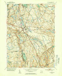
1953 Map of Colchester
USGS Topo · Published 1954About this map
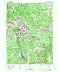
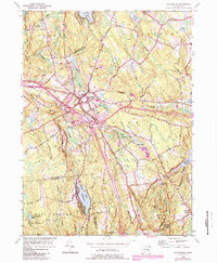
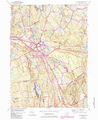
Colchester serves as the central hub of this mid-century New London County survey, where the historic Bacon Academy and Linwood Cem mark the established town center. The landscape is defined by its transition from organized settlement to the dense wetlands of Dutton Swamp and Whittlesey Swamp. Roads like the Old Hartford Road and New London Road converge here, tracing older thoroughfares that connected the interior of Connecticut. To the south, the waters of Lake Hayward and Deep River Reservoir indicate the region's importance for recreation and water resources. The map captures a series of named crossroads such as Cherry Corners, Avery Corner, and the evocatively named Hellwill Corner, which provide specific points of interest for genealogists tracking family landholdings and rural development patterns during the early 1950s.
Find a feature on this map
54 named features on this map. Tap any name to fly to it.
Don’t see what you’re looking for? This feature index may not catch every label — zoom into the map to look around manually.
Map Details
Editions of this 1953 Colchester Map
7 editions found
Other maps of this area

1892 · New London
USGS Topo · 1:62,500

1892 · Norwich
USGS Topo · 1:62,500

1892 · Gilead
USGS Topo · 1:62,500

1893 · New London
USGS Topo · 1:62,500

1893 · Saybrook
USGS Topo · 1:62,500

1921 · New London
USGS Topo · 1:62,500

1935 · Montville
USGS Topo · 1:24,000

1939 · Montville
USGS Topo · 1:31,680

1943 · Fitchville
USGS Topo · 1:31,680

1944 · Marlboro
USGS Topo · 1:31,680