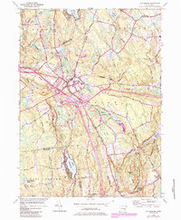
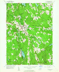
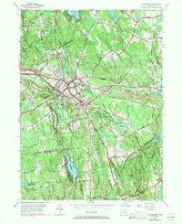
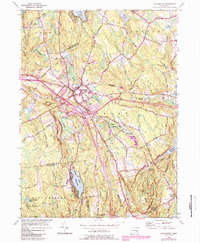
1953 Map of Colchester
USGS Topo · Published 1985About this map
Colchester serves as the central hub of this mid-century New London County survey, showcasing a landscape defined by its numerous family-named corners and complex water systems. The map traces the intersection of local history through settlements like Amston and Exeter, while preserving the locations of rural landmarks such as St Johns Cem. The surrounding terrain is marked by prominent elevations including Halls Hill and Buckley Hill, which overlook a network of wetlands like Dutton Swamp and McDonald Swamp. This 1953 edition includes significant purple-tinted photorevisions from 1982, documenting the expansion of modern infrastructure, most notably the Interchange and highway developments that altered the traditional crossroads of Cherry Corners and Milestone Corner. Water remains a focal point, with Hayward Lake and the Deep River Reservoir anchoring the southern and eastern quadrants of the quadrangle.
Find a feature on this map
56 named features on this map. Tap any name to fly to it.
Don’t see what you’re looking for? This feature index may not catch every label — zoom into the map to look around manually.
Map Details
Editions of this 1953 Colchester Map
7 editions found
Other maps of this area

1892 · New London
USGS Topo · 1:62,500

1892 · Norwich
USGS Topo · 1:62,500

1892 · Gilead
USGS Topo · 1:62,500

1893 · New London
USGS Topo · 1:62,500

1893 · Saybrook
USGS Topo · 1:62,500

1921 · New London
USGS Topo · 1:62,500

1935 · Montville
USGS Topo · 1:24,000

1939 · Montville
USGS Topo · 1:31,680

1943 · Fitchville
USGS Topo · 1:31,680

1944 · Marlboro
USGS Topo · 1:31,680