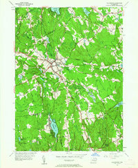
1953 Map of Colchester
USGS Topo · Published 1962About this map
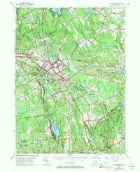
Colchester sits at the heart of this mid-century survey, serving as a hub for both road and rail travel. The New York New Haven and Hartford railroad cuts through the landscape, linking the central village with Amston to the north. This era reflects a landscape transitioning from traditional agriculture toward a more modern infrastructure, evidenced by the presence of a radio tower and the Deep River Reservoir.
Find a feature on this map
71 named features on this map. Tap any name to fly to it.
Don’t see what you’re looking for? This feature index may not catch every label — zoom into the map to look around manually.
Map Details
Editions of this 1953 Colchester Map
7 editions found
Other maps of this area

1892 · New London
USGS Topo · 1:62,500

1892 · Norwich
USGS Topo · 1:62,500

1892 · Gilead
USGS Topo · 1:62,500

1893 · New London
USGS Topo · 1:62,500

1893 · Saybrook
USGS Topo · 1:62,500

1921 · New London
USGS Topo · 1:62,500

1935 · Montville
USGS Topo · 1:24,000

1939 · Montville
USGS Topo · 1:31,680

1943 · Fitchville
USGS Topo · 1:31,680

1944 · Marlboro
USGS Topo · 1:31,680