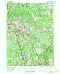
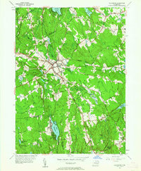
1953 Map of Colchester
USGS Topo · Published 1971About this map
Colchester serves as the central hub of this New London County landscape, where the intersection of several regional routes defines the local geography. The area is characterized by its numerous family-named corners and hills, including Avery Corner and Halls Hill, reflecting a long-standing pattern of rural settlement. To the north, Amston Lake and the village of Amston mark the border with Tolland County, while the southern reaches descend toward Lake Hayward and the Eightmile River. This mid-century survey, updated with 1970s highway revisions, reveals the transition from agrarian roots to modern connectivity. Notable local landmarks such as Exeter Ch and the Stephens Cem provide valuable points of reference for genealogists tracing ancestral homesteads near Judd Brook or the marshy expanses of Dutton Swamp.
Find a feature on this map
49 named features on this map. Tap any name to fly to it.
Don’t see what you’re looking for? This feature index may not catch every label — zoom into the map to look around manually.
Map Details
Editions of this 1953 Colchester Map
7 editions found
Other maps of this area

1892 · New London
USGS Topo · 1:62,500

1892 · Norwich
USGS Topo · 1:62,500

1892 · Gilead
USGS Topo · 1:62,500

1893 · New London
USGS Topo · 1:62,500

1893 · Saybrook
USGS Topo · 1:62,500

1921 · New London
USGS Topo · 1:62,500

1935 · Montville
USGS Topo · 1:24,000

1939 · Montville
USGS Topo · 1:31,680

1943 · Fitchville
USGS Topo · 1:31,680

1944 · Marlboro
USGS Topo · 1:31,680