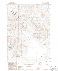
1983 Map of Cold Bay A-1
USGS Topo · Published 1986About this map
King Cove and the coastal settlement of Belkofski anchor this maritime landscape on the southern tip of the Alaska Peninsula. Compiled from aerial photography dating back to the 1960s, the map illustrates a region defined by its deep bays and volcanic peaks, such as Mount Dutton. The presence of the Landing Strip near Delta Creek highlights the essential role of air transport in these isolated coastal communities, while Kitchen Anchorage and Captain Harbor signify the vital reliance on the sea.
Find a feature on this map
29 named features on this map. Tap any name to fly to it.
Don’t see what you’re looking for? This feature index may not catch every label — zoom into the map to look around manually.
Map Details
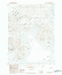
Editions of this 1983 Cold Bay A-1 Map
2 editions found
Other maps of this area

1943 · Fort Randall
USGS Topo · 1:250,000

1949 · False Pass
USGS Topo · 1:250,000

1949 · Fort Randall
USGS Topo · 1:250,000

1950 · False Pass
USGS Topo · 1:250,000

1950 · Fort Randall
USGS Topo · 1:250,000

1953 · Port Moller
USGS Topo · 1:250,000

1963 · Port Moller A-6
USGS Topo · 1:63,360
1963 · False Pass D-0
USGS Topo · 1:63,360

1963 · False Pass D-1
USGS Topo · 1:63,360

1963 · False Pass D-2
USGS Topo · 1:63,360