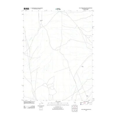
2012 Map of Cold Creek Ranch NW
USGS Topo · Published 2012About this map
Huntington Valley serves as the primary geographical focus in this high-desert region of White Pine County. The landscape is defined by the seasonal drainage of Conners Creek and the deep incisions of Water Canyon and Bourne Canyon. Of particular interest to historical researchers is the presence of the Elko Hamilton Stage Rd, a thoroughfare that recalls the early transportation networks connecting mining and ranching hubs in the Nevada interior. The map illustrates a contemporary view of these traditional routes, where old stage paths meet modern infrastructure like Co RD-1. This documentation of the terrain at the start of the 21st century provides a clear look at how topographic features and historical travel corridors persist in an sparsely populated ranching environment.
Find a feature on this map
6 named features on this map. Tap any name to fly to it.
Don’t see what you’re looking for? This feature index may not catch every label — zoom into the map to look around manually.
Map Details
Editions of this 2012 Cold Creek Ranch NW Map
This is the sole edition of this map. No revisions or reprints were ever made.
Other maps of this area

1934 · Jiggs
USGS Topo · 1:125,000

1937 · Jiggs
USGS Topo · 1:125,000

1955 · Elko
USGS Topo · 1:250,000

1956 · Ely
USGS Topo · 1:250,000

1957 · Diamond Springs
USGS Topo · 1:62,500

1957 · Cold Creek Ranch
USGS Topo · 1:62,500

1958 · Elko
USGS Topo · 1:250,000

1959 · Ely
USGS Topo · 1:250,000

1959 · Railroad Pass
USGS Topo · 1:62,500

1959 · Sherman Mtn
USGS Topo · 1:62,500