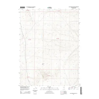
2014 Map of Cold Creek Ranch NW
USGS Topo · Published 2014About this map
Huntington Valley dominates this high-elevation landscape in White Pine County, where the topography is defined by intricate drainage networks and north-south trending ridges. The drainage of Conners Cr winds through the northern sections, illustrating the seasonal water patterns typical of this Great Basin environment. A network of rural connectors, including Cr-1, Cr-8, and Cr-719, provides the primary access through the valley floor and across the various township and range boundaries. This U.S. Geological Survey representation emphasizes the remote, surveyed nature of the region, where the Public Land Survey System grid overlays the natural contours of the valley, highlighting the intersection of human-imposed geometry and the natural flow of the local creek systems.
Find a feature on this map
11 named features on this map. Tap any name to fly to it.
Don’t see what you’re looking for? This feature index may not catch every label — zoom into the map to look around manually.
Map Details
Editions of this 2014 Cold Creek Ranch NW Map
This is the sole edition of this map. No revisions or reprints were ever made.
Other maps of this area

1934 · Jiggs
USGS Topo · 1:125,000

1937 · Jiggs
USGS Topo · 1:125,000

1955 · Elko
USGS Topo · 1:250,000

1956 · Ely
USGS Topo · 1:250,000

1957 · Diamond Springs
USGS Topo · 1:62,500

1957 · Cold Creek Ranch
USGS Topo · 1:62,500

1958 · Elko
USGS Topo · 1:250,000

1959 · Ely
USGS Topo · 1:250,000

1959 · Railroad Pass
USGS Topo · 1:62,500

1959 · Sherman Mtn
USGS Topo · 1:62,500