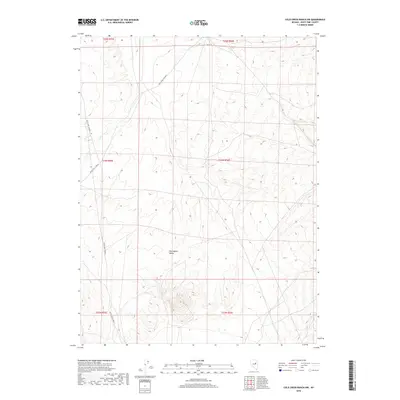
2018 Map of Cold Creek Ranch NW
USGS Topo · Published 2018About this map
Huntington Valley defines the core of this 2018 survey, representing a high-desert basin in eastern Nevada. The landscape is marked by the seasonal drainage of Conners Cr, which cuts through the terrain from the northwest. Human presence is indicated primarily by the Bureau of Land Management's surveying grid and the essential transportation routes provided by White Pine Co Road 6 and White Pine Co Road 1. The map documents the vast, open character of this part of White Pine County, where the topography transitions from the valley floor into rising elevations. This document serves as a precise record of the road network and water features that sustain cattle ranching and land management in a sparsely populated region of the Great Basin.
Find a feature on this map
10 named features on this map. Tap any name to fly to it.
Don’t see what you’re looking for? This feature index may not catch every label — zoom into the map to look around manually.
Map Details
Editions of this 2018 Cold Creek Ranch NW Map
This is the sole edition of this map. No revisions or reprints were ever made.
Other maps of this area

1934 · Jiggs
USGS Topo · 1:125,000

1937 · Jiggs
USGS Topo · 1:125,000

1955 · Elko
USGS Topo · 1:250,000

1956 · Ely
USGS Topo · 1:250,000

1957 · Diamond Springs
USGS Topo · 1:62,500

1957 · Cold Creek Ranch
USGS Topo · 1:62,500

1958 · Elko
USGS Topo · 1:250,000

1959 · Ely
USGS Topo · 1:250,000

1959 · Railroad Pass
USGS Topo · 1:62,500

1959 · Sherman Mtn
USGS Topo · 1:62,500