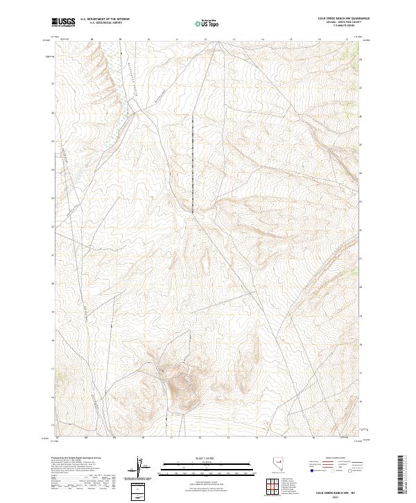
2021 Map of Cold Creek Ranch NW
USGS Topo · Published 2021About this map
Huntington Valley defines the landscape of this high-altitude basin in eastern Nevada, where drainage patterns and remote road networks tell the story of modern land management and rural connectivity. The intermittent flow of Conners Cr meanders through the western portion of the quadrangle, illustrating the arid hydrology characteristic of the Great Basin. This 2021 survey reveals a sparse human footprint dominated by essential transit corridors like White Pine Co Road 1 and White Pine Co Road 6. These routes provide the primary access through the vast public and private land parcels that comprise the township and range divisions here, including portions of t24n r55e and t24n r56e.
Find a feature on this map
10 named features on this map. Tap any name to fly to it.
Don’t see what you’re looking for? This feature index may not catch every label — zoom into the map to look around manually.
Map Details
Editions of this 2021 Cold Creek Ranch NW Map
This is the sole edition of this map. No revisions or reprints were ever made.
Other maps of this area

1934 · Jiggs
USGS Topo · 1:125,000

1937 · Jiggs
USGS Topo · 1:125,000

1955 · Elko
USGS Topo · 1:250,000

1956 · Ely
USGS Topo · 1:250,000

1957 · Diamond Springs
USGS Topo · 1:62,500

1957 · Cold Creek Ranch
USGS Topo · 1:62,500

1958 · Elko
USGS Topo · 1:250,000

1959 · Ely
USGS Topo · 1:250,000

1959 · Railroad Pass
USGS Topo · 1:62,500

1959 · Sherman Mtn
USGS Topo · 1:62,500