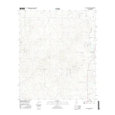
2016 Map of Cold Creek Spring
USGS Topo · Published 2016About this map
Christoval anchors the eastern edge of this landscape, situated where the South Concho River flows northward toward the Edwards Plateau. This 2016 survey illustrates the vital role of water in this semi-arid region, marked by the presence of Mill Spring and the Cold Creek Spring further south. An intricate system of water management is visible through the S Concho Irrigation Canal, which draws from the river to support local land use.
Find a feature on this map
30 named features on this map. Tap any name to fly to it.
Don’t see what you’re looking for? This feature index may not catch every label — zoom into the map to look around manually.
Map Details
Editions of this 2016 Cold Creek Spring Map
This is the sole edition of this map. No revisions or reprints were ever made.
Other maps of this area

1892 · San Angelo
USGS Topo · 1:125,000

1895 · Sherwood
USGS Topo · 1:125,000

1924 · San Angelo 2-c
USGS Topo · 1:48,000

1924 · Sherwood 1-d
USGS Topo · 1:48,000

1928 · Wall
USGS Topo · 1:62,500

1928 · Tankersly
USGS Topo · 1:62,500

1954 · San Angelo
USGS Topo · 1:250,000

1957 · Knickerbocker
USGS Topo · 1:62,500

1957 · Wall
USGS Topo · 1:62,500

1958 · San Angelo
USGS Topo · 1:250,000