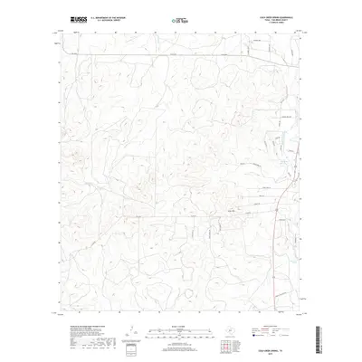
2019 Map of Cold Creek Spring
USGS Topo · Published 2019About this map
Cold Creek Spring and the South Concho River anchor the eastern landscape of this Tom Green County region, where the limestone-filtered waters of the Edwards Plateau emerge. The terrain is defined by the winding course of the river and several notable water sources, including Mill Spring and the western drainage of Burks Cr. Historically significant routes like Allen Rd and Head of the River Rd trace the contours of the land, connecting local ranching interests to the river valley. The topography is marked by elevations such as Allen Hill, providing a look at the scrub and canyon geography typical of the Concho Valley. Local infrastructure is evidenced by a network of family-named roads like Kenley Rd and Hoskey Rd, alongside residential developments signaled by Sunrise Loop and Mineral Wells Rd.
Find a feature on this map
30 named features on this map. Tap any name to fly to it.
Don’t see what you’re looking for? This feature index may not catch every label — zoom into the map to look around manually.
Map Details
Editions of this 2019 Cold Creek Spring Map
This is the sole edition of this map. No revisions or reprints were ever made.
Other maps of this area

1892 · San Angelo
USGS Topo · 1:125,000

1895 · Sherwood
USGS Topo · 1:125,000

1924 · San Angelo 2-c
USGS Topo · 1:48,000

1924 · Sherwood 1-d
USGS Topo · 1:48,000

1928 · Wall
USGS Topo · 1:62,500

1928 · Tankersly
USGS Topo · 1:62,500

1954 · San Angelo
USGS Topo · 1:250,000

1957 · Knickerbocker
USGS Topo · 1:62,500

1957 · Wall
USGS Topo · 1:62,500

1958 · San Angelo
USGS Topo · 1:250,000