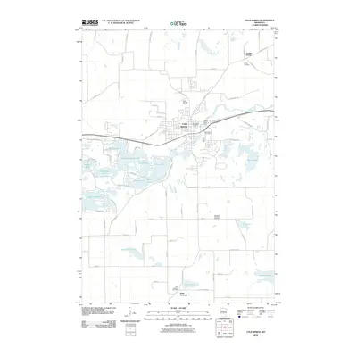
2010 Map of Cold Spring
USGS Topo · Published 2010About this map
Cold Spring sits at the center of a complex landscape where the Sauk River winds past the Sauk River Dam and through a dense network of glacial water bodies. The settlement pattern here is deeply rooted in local parish history, anchored by clusters like Jacobs Prairie to the north and Saint Nicholas to the south. Each of these small communities is marked by its respective burial grounds, including the Jacobs Prairie Cemetery and the Saint Nicholas Cemetery, providing a clear map of early regional development and family lineages.
Find a feature on this map
78 named features on this map. Tap any name to fly to it.
Don’t see what you’re looking for? This feature index may not catch every label — zoom into the map to look around manually.
Map Details
Editions of this 2010 Cold Spring Map
This is the sole edition of this map. No revisions or reprints were ever made.
Other maps of this area

1953 · Saint Cloud
USGS Topo · 1:250,000

1957 · Saint Cloud
USGS Topo · 1:250,000

1958 · Saint Cloud
USGS Topo · 1:250,000

1965 · Farming
USGS Topo · 1:24,000

1965 · St Joseph
USGS Topo · 1:24,000

1965 · Avon
USGS Topo · 1:24,000

1967 · Cold Spring
USGS Topo · 1:24,000

1967 · Richmond
USGS Topo · 1:24,000

1967 · Watkins
USGS Topo · 1:24,000

1967 · Rockville
USGS Topo · 1:24,000