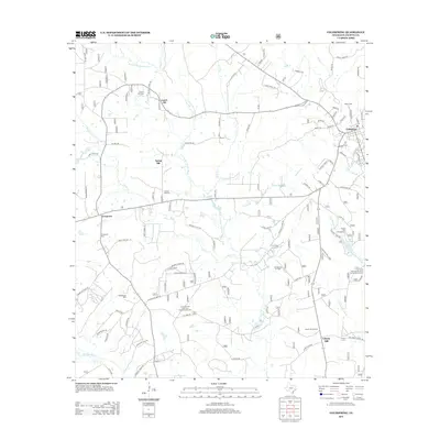
2013 Map of Coldspring
USGS Topo · Published 2013About this map
Coldspring serves as the focal point of this San Jacinto County landscape, where the town's grid meets a network of timbered reaches and watercourses. The drainage of the E Fork San Jacinto River and its numerous tributaries, including Miller Cr and Tarkington Bayou, defines the area's geography. Historically significant sites for genealogists include numerous family and community burial grounds such as Evergreen Cem, Spring Hill Cem, and Laurel Hill Cem.
Find a feature on this map
94 named features on this map. Tap any name to fly to it.
Don’t see what you’re looking for? This feature index may not catch every label — zoom into the map to look around manually.
Map Details
Editions of this 2013 Coldspring Map
This is the sole edition of this map. No revisions or reprints were ever made.
Other maps of this area

1954 · Beaumont
USGS Topo · 1:250,000

1957 · Beaumont
USGS Topo · 1:250,000

1958 · Westcott
USGS Topo · 1:24,000

1958 · Bear Creek
USGS Topo · 1:24,000

1959 · Conroe NE
USGS Topo · 1:24,000

1960 · Blanchard
USGS Topo · 1:24,000

1960 · Maynard
USGS Topo · 1:24,000

1960 · Stephen Creek
USGS Topo · 1:24,000

1960 · Camilla
USGS Topo · 1:24,000

1960 · Coldspring
USGS Topo · 1:24,000