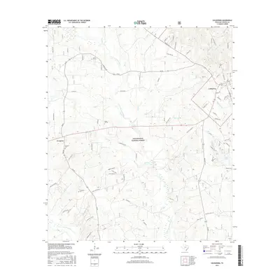
2016 Map of Coldspring
USGS Topo · Published 2016About this map
Sam Houston National Forest encompasses a significant portion of this landscape, where the E Fork San Jacinto River and its tributaries, including Miller Cr and Sand Cr, carve through the East Texas woodlands. The settlement of Coldspring serves as a focal point near the eastern edge, while the community of Evergreen anchors the western side of the map. This modern survey provides essential geographic data for genealogists and local historians, as it meticulously identifies family-named burial grounds like Laurel Hill Cem, Spring Hill Cem, and Youngblood Cem. The southern reach is defined by the wetlands surrounding Tarkington Bayou and Winters Bayou, contrasting with the recreational trail networks near Double Lake, including the DLRA Trail and Henry Lake Trail.
Find a feature on this map
75 named features on this map. Tap any name to fly to it.
Don’t see what you’re looking for? This feature index may not catch every label — zoom into the map to look around manually.
Map Details
Editions of this 2016 Coldspring Map
This is the sole edition of this map. No revisions or reprints were ever made.
Other maps of this area

1954 · Beaumont
USGS Topo · 1:250,000

1957 · Beaumont
USGS Topo · 1:250,000

1958 · Westcott
USGS Topo · 1:24,000

1958 · Bear Creek
USGS Topo · 1:24,000

1959 · Conroe NE
USGS Topo · 1:24,000

1960 · Blanchard
USGS Topo · 1:24,000

1960 · Maynard
USGS Topo · 1:24,000

1960 · Stephen Creek
USGS Topo · 1:24,000

1960 · Camilla
USGS Topo · 1:24,000

1960 · Coldspring
USGS Topo · 1:24,000