
1982 Map of Coldwater Lake NE
USGS Topo · Published 1982About this map
Gnadenfeld Congregational Cem serves as a significant genealogical landmark in this pocket of the northern plains, reflecting the German-heritage settlement patterns of the early 1980s. The landscape is characterized by its glacial prairie potholes and conservation efforts, dominated by two large tracts of the National Waterfowl Production Area. These protected wetlands define the local terrain alongside features such as Roloff and the township of German. Situated along the boundary where McIntosh and Dickey counties meet, the map illustrates the agrarian grid of the region, where fine red dashed lines indicate the presence of selected fence and field lines across the open country.
Find a feature on this map
6 named features on this map. Tap any name to fly to it.
Don’t see what you’re looking for? This feature index may not catch every label — zoom into the map to look around manually.
Map Details
Editions of this 1982 Coldwater Lake NE Map
This is the sole edition of this map. No revisions or reprints were ever made.
Other maps of this area

1896 · Edgeley
USGS Topo · 1:125,000

1925 · Edgeley
USGS Topo · 1:125,000

1953 · Jamestown
USGS Topo · 1:250,000

1956 · Jamestown
USGS Topo · 1:250,000

1971 · Merricourt NW
USGS Topo · 1:24,000
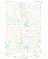
1971 · Merricourt SW
USGS Topo · 1:24,000

1982 · Coldwater Lake NW
USGS Topo · 1:24,000

1982 · Guyson
USGS Topo · 1:24,000

1982 · Fredonia
USGS Topo · 1:24,000
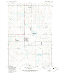
1982 · Kulm
USGS Topo · 1:24,000