
1930 Map of Coldwater
USGS Topo · Published 1930About this map
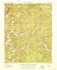
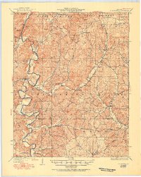
St Francis River winds through the western reaches of this 1930 edition, where the rugged terrain of Madison and Wayne counties is defined by a dense network of mountain peaks and narrow creek valleys. Rural commerce and community life are anchored at small hubs like French Mills, Twelvemile Store, and Chubb Store. This era shows a landscape heavily partitioned by local school districts and small congregations, evidenced by landmarks such as King Sch, Central Sch, and Miller Chapel.
Find a feature on this map
63 named features on this map. Tap any name to fly to it.
Don’t see what you’re looking for? This feature index may not catch every label — zoom into the map to look around manually.
Map Details
Editions of this 1930 Coldwater Map
4 editions found
Other maps of this area

1910 · Higdon
USGS Topo · 1:62,500

1926 · Des Arc
USGS Topo · 1:62,500

1929 · Des Arc
USGS Topo · 1:62,500

1930 · Coldwater
USGS Topo · 1:62,500

1932 · Piedmont
USGS Topo · 1:62,500

1933 · Marquand
USGS Topo · 1:62,500

1934 · Greenville
USGS Topo · 1:62,500

1935 · Zalma
USGS Topo · 1:62,500

1935 · Piedmont
USGS Topo · 1:62,500

1937 · Ironton
USGS Topo · 1:48,000