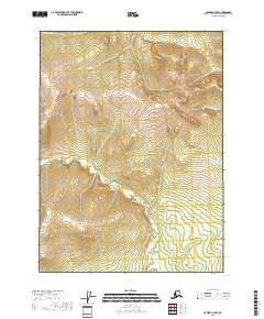
2018 Map of Coleen C-4 NW
USGS Topo · Published 2018About this map
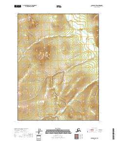
Lois Dome rises as a prominent landmark in this interior Alaskan landscape, characterized by the winding headwaters of چندین distinct drainage systems. Small tributaries like Khayyam Cr and Omar Cr carve through the terrain of the t34n r21e and t34n r22e townships, indicating a remote watershed environment. The presence of Procrastination Cr in the eastern reaches suggests the characteristic isolation and naming traditions of wilderness surveys in the Yukon-Koyukuk region. This map provides a technical view of the legal land descriptions and natural topography of an area defined by its drainage basins and high-altitude features long before any permanent development or infrastructure was established.
Find a feature on this map
10 named features on this map. Tap any name to fly to it.
Don’t see what you’re looking for? This feature index may not catch every label — zoom into the map to look around manually.
Map Details
Editions of this 2018 Coleen C-4 NW Map
This is the sole edition of this map. No revisions or reprints were ever made.
Other maps of this area

1951 · Coleen
USGS Topo · 1:250,000

1956 · Coleen
USGS Topo · 1:250,000
1972 · Coleen D-4
USGS Topo · 1:63,360
1972 · Coleen D-5
USGS Topo · 1:63,360
1990 · Coleen C-4
USGS Topo · 1:63,360
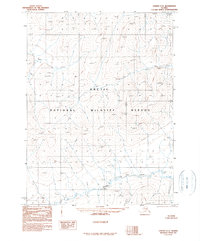
1990 · Coleen C-5
USGS Topo · 1:63,360
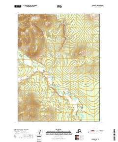
2018 · Coleen D-4 SE
USGS Topo · 1:25,000
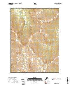
2018 · Coleen D-5 SE
USGS Topo · 1:25,000
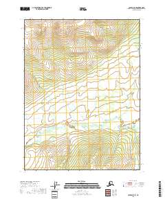
2018 · Coleen C-5 SE
USGS Topo · 1:25,000
2018 · Coleen D-4 SW
USGS Topo · 1:25,000