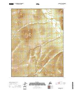
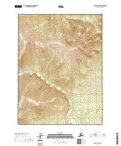
2018 Map of Coleen D-4 SW
USGS Topo · Published 2018About this map
Patricia Cr flows through the central interior of this remote Arctic territory, situated within the vast Yukon-Koyukuk Census Area. The landscape is defined by its drainages and legal townships, including t35n r21e and t35n r22e, where the terrain rises toward high ridges separated by the headwaters of Pass Cr. To the south, Khayyam Cr and Omar Cr carve through the southern sections of t34n r22e, illustrating the complex hydrological network of the Coleen river basin. This 2018 survey documents a region defined almost entirely by its natural water features and official land divisions, offering a detailed view of the unnamed peaks and valleys that characterize this portion of northern Alaska.
Find a feature on this map
8 named features on this map. Tap any name to fly to it.
Don’t see what you’re looking for? This feature index may not catch every label — zoom into the map to look around manually.
Map Details
Editions of this 2018 Coleen D-4 SW Map
This is the sole edition of this map. No revisions or reprints were ever made.
Other maps of this area

1951 · Coleen
USGS Topo · 1:250,000

1956 · Coleen
USGS Topo · 1:250,000
1972 · Coleen D-4
USGS Topo · 1:63,360
1972 · Coleen D-5
USGS Topo · 1:63,360
1990 · Coleen C-4
USGS Topo · 1:63,360
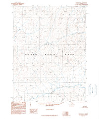
1990 · Coleen C-5
USGS Topo · 1:63,360
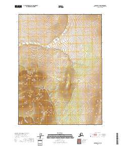
2018 · Coleen D-4 NE
USGS Topo · 1:25,000
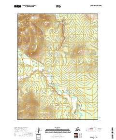
2018 · Coleen D-4 SE
USGS Topo · 1:25,000
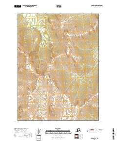
2018 · Coleen D-5 SE
USGS Topo · 1:25,000
2018 · Coleen C-4 NW
USGS Topo · 1:25,000