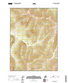
2018 Map of Coleen C-5 NW
USGS Topo · Published 2018About this map
The rugged terrain of the Yukon-Koyukuk Census Area is meticulously documented in this topographic study, where the landscape is defined by the Public Land Survey System grids. The map focuses on the high-elevation areas within the transition between t34n r19e and t34n r20e, as well as the southern reaches of t32n r19e. Without the presence of named settlements, roads, or localized landmarks, the data emphasizes the raw topography and the hydrography of unnamed drainages that shape the eastern Alaskan interior. This sheet is essential for understanding the sheer scale and isolation of the region's wilderness, where vertical relief is the primary feature of interest for researchers and environmental historians.
Find a feature on this map
7 named features on this map. Tap any name to fly to it.
Don’t see what you’re looking for? This feature index may not catch every label — zoom into the map to look around manually.
Map Details
Editions of this 2018 Coleen C-5 NW Map
This is the sole edition of this map. No revisions or reprints were ever made.
Other maps of this area

1951 · Coleen
USGS Topo · 1:250,000

1956 · Coleen
USGS Topo · 1:250,000
1972 · Coleen D-5
USGS Topo · 1:63,360

1972 · Coleen D-6
USGS Topo · 1:63,360
1983 · Coleen C-6
USGS Topo · 1:63,360
1990 · Coleen C-5
USGS Topo · 1:63,360
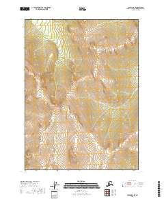
2018 · Coleen D-5 SE
USGS Topo · 1:25,000
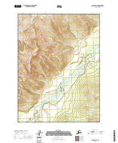
2018 · Coleen D-6 SE
USGS Topo · 1:25,000
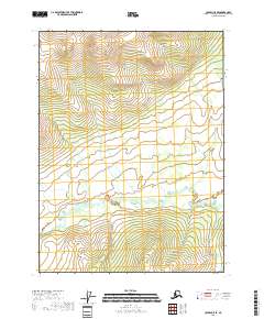
2018 · Coleen C-5 SE
USGS Topo · 1:25,000
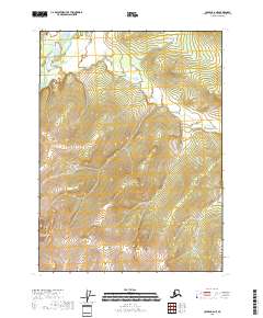
2018 · Coleen C-6 NE
USGS Topo · 1:25,000