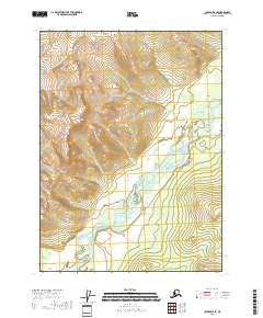
2018 Map of Coleen D-6 SE
USGS Topo · Published 2018About this map
The Sheenjek River meanders across the southeast corner of this remote Alaskan interior landscape, creating a complex network of braided channels and sandbars within its wide valley. This 2018 survey reveals the dramatic elevation changes characteristic of the Yukon-Koyukuk region, dominated by the prominent landform of Shoulder Mtn in the western portion of the map. The terrain is defined by steep contour intervals that rise sharply from the riverbanks toward the mountain ridges, illustrating the untouched wilderness and natural drainage patterns of the high north. Apart from the administrative markers of the Public Land Survey System, such as t35n r18e and t34n r19e, the area is devoid of roads or settlements, emphasizing the isolation of this corner of the state.
Find a feature on this map
6 named features on this map. Tap any name to fly to it.
Don’t see what you’re looking for? This feature index may not catch every label — zoom into the map to look around manually.
Map Details
Editions of this 2018 Coleen D-6 SE Map
This is the sole edition of this map. No revisions or reprints were ever made.
Other maps of this area

1951 · Coleen
USGS Topo · 1:250,000

1956 · Coleen
USGS Topo · 1:250,000
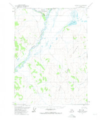
1972 · Coleen D-5
USGS Topo · 1:63,360

1972 · Coleen D-6
USGS Topo · 1:63,360
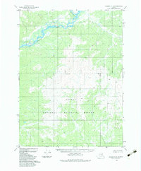
1983 · Coleen C-6
USGS Topo · 1:63,360
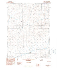
1990 · Coleen C-5
USGS Topo · 1:63,360
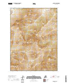
2018 · Coleen D-6 NE
USGS Topo · 1:25,000
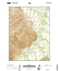
2018 · Coleen D-5 NW
USGS Topo · 1:25,000
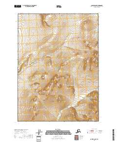
2018 · Coleen D-6 NW
USGS Topo · 1:25,000
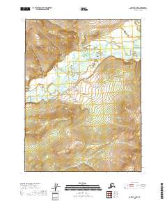
2018 · Coleen C-6 NW
USGS Topo · 1:25,000