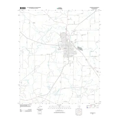
2013 Map of Coleman
USGS Topo · Published 2013About this map
Coleman serves as the focal point of this Central Texas landscape, organized around a dense grid of streets like E Gross St and W Ripley St. The surrounding terrain is defined by a sophisticated water management system, featuring multiple reservoirs such as Soil Conservation Service Site 38a Reservoir and Soil Conservation Service Site 6a Reservoir. These sites, along with Hunter Lake and Country Club Lake, illustrate the region's reliance on engineered water storage to support local agriculture and recreation.
Find a feature on this map
95 named features on this map. Tap any name to fly to it.
Don’t see what you’re looking for? This feature index may not catch every label — zoom into the map to look around manually.
Map Details
Editions of this 2013 Coleman Map
This is the sole edition of this map. No revisions or reprints were ever made.
Other maps of this area

1887 · Coleman
USGS Topo · 1:125,000

1889 · Coleman
USGS Topo · 1:125,000

1892 · Ballinger
USGS Topo · 1:125,000

1932 · Voss
USGS Topo · 1:62,500

1954 · Brownwood
USGS Topo · 1:250,000

1960 · Lake Scarborough
USGS Topo · 1:24,000
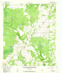
1960 · Coleman NE
USGS Topo · 1:24,000

1962 · Santa Anna
USGS Topo · 1:24,000
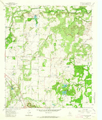
1963 · Lake San Tana
USGS Topo · 1:24,000
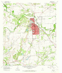
1963 · Coleman
USGS Topo · 1:24,000