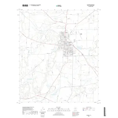
2019 Map of Coleman
USGS Topo · Published 2019About this map
Coleman serves as the central hub of this West Texas landscape, where a dense grid of residential streets like Cottonwood St and W Pecan St meet a surrounding network of rural ranch roads. The geography is defined by a series of engineered water bodies and natural drainage systems, including Old City Lake and Hunter Lake, along with several conservation reservoirs managed by the Soil Conservation Service. These lakes, alongside Country Club Lake, reflect the region's managed water resources essential for the local environment. Stretching outward from the town center, the terrain is carved by natural waterways such as Bachelor Prong, Hords Cr, and Loss Cr. To the northeast, the Coleman Municipal Airport marks a modern transport node, while the broader countryside is threaded with county roads such as Co Rd 157 and Co Rd 457, connecting the municipal center to outlying ranch lands.
Find a feature on this map
128 named features on this map. Tap any name to fly to it.
Don’t see what you’re looking for? This feature index may not catch every label — zoom into the map to look around manually.
Map Details
Editions of this 2019 Coleman Map
This is the sole edition of this map. No revisions or reprints were ever made.
Other maps of this area

1887 · Coleman
USGS Topo · 1:125,000

1889 · Coleman
USGS Topo · 1:125,000

1892 · Ballinger
USGS Topo · 1:125,000

1932 · Voss
USGS Topo · 1:62,500

1954 · Brownwood
USGS Topo · 1:250,000

1960 · Lake Scarborough
USGS Topo · 1:24,000
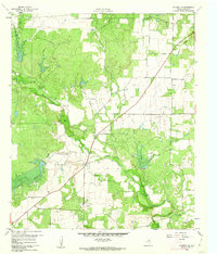
1960 · Coleman NE
USGS Topo · 1:24,000

1962 · Santa Anna
USGS Topo · 1:24,000
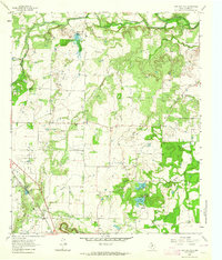
1963 · Lake San Tana
USGS Topo · 1:24,000
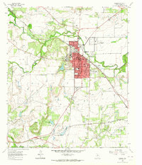
1963 · Coleman
USGS Topo · 1:24,000