Loading...
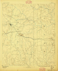
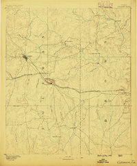
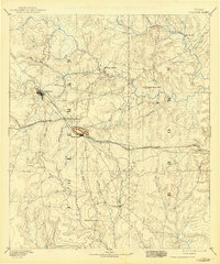
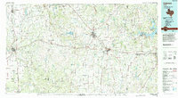
Loading map...1887 Map of Coleman
USGS Topo · Published 1896About this map
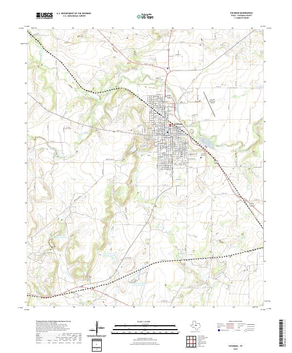
Coleman serves as the central hub of this late-19th-century West Texas landscape, where the iron rails of the Gulf Colorado and Santa Fe Railroad cut a diagonal path across the prairie. The survey, conducted under J.W. Powell, illustrates a transition from the frontier military era to a settled ranching and farming economy. To the northeast, the site of Camp Colorado remains a landmark of earlier defense, while the rising peaks of the Santa Anna Mountains overlook the growing town of Santa Anna.
Find a feature on this map
42 named features on this map. Tap any name to fly to it.
Don’t see what you’re looking for? This feature index may not catch every label — zoom into the map to look around manually.
Map Details
Date Portrayed1887
Date Published1896
PublisherU.S. Geological Survey
Map TypeTopographic
Scale1:125,000
Physical Dimensions16.5 x 20.1 inches
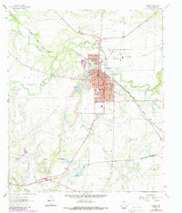
Editions of this 1887 Coleman Map
2 editions found
Historical Maps of Brownwood Through Time
9 maps found
Featured Locations
Source Details
SourceU.S. Geological Survey
CopyrightPublic Domain