
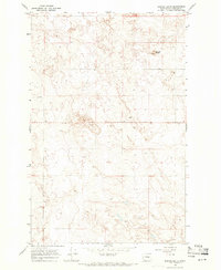
1968 Map of Coleman Hill
USGS Topo · Published 1971About this map
Rufus Woods Lake Columbia River defines the northwestern boundary of this high plateau country, where the landscape transitions from the river's edge to the expansive reaches of Coleman Hill and Pearl Hill. The 1968 topography reveals a high-desert environment dominated by drainage patterns and springs, such as Ruben Blue Spring and Smith Spring, which were vital for life and land use in this arid region. The presence of numerous wells and water sources across the terrain underscores the importance of water management in a place characterized by distinct geological features like Chalk Hills and the winding East Foster Creek.
Find a feature on this map
25 named features on this map. Tap any name to fly to it.
Don’t see what you’re looking for? This feature index may not catch every label — zoom into the map to look around manually.
Map Details
Editions of this 1968 Coleman Hill Map
This is the sole edition of this map. No revisions or reprints were ever made.
Other maps of this area

1905 · Okanogan
USGS Topo · 1:125,000

1950 · Boot Mtn
USGS Topo · 1:62,500

1953 · Ritzville
USGS Topo · 1:250,000

1954 · Okanogan
USGS Topo · 1:250,000

1957 · Bridgeport
USGS Topo · 1:62,500

1958 · Okanogan
USGS Topo · 1:250,000

1959 · Ritzville
USGS Topo · 1:250,000

1965 · Ritzville
USGS Topo · 1:250,000

1968 · Chief Joseph Dam
USGS Topo · 1:24,000
1968 · Barnes Butte
USGS Topo · 1:24,000