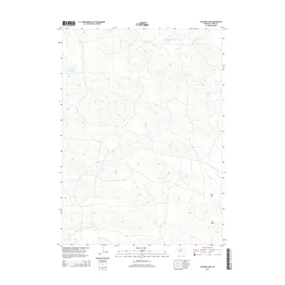
2014 Map of Coleman Lake
USGS Topo · Published 2014About this map
Coleman Lake and its surrounding sandhills dominate this interior portion of Cherry County, Nebraska, where groundwater dictates the geography of the landscape. The region is defined by a series of shallow basins and depressions that hold water, creating distinctive features such as Flowing Well Lake and Little Coleman Lake. These water bodies are vital landmarks in a sparsely populated terrain where cattle ranching is the primary use of the land. Broad, level expanses like Prairie Dog Flats and Poole Flat provide a sharp contrast to the undulating dunes, while Dry Valley to the southeast marks a significant drainage path through the hills. This topographic study reflects the enduring isolation and specialized hydrology of the Sandhills region, where even small features like Carpenter Lake serve as critical reference points for navigation and land management in the vast grassland.
Find a feature on this map
7 named features on this map. Tap any name to fly to it.
Don’t see what you’re looking for? This feature index may not catch every label — zoom into the map to look around manually.
Map Details
Editions of this 2014 Coleman Lake Map
This is the sole edition of this map. No revisions or reprints were ever made.
Other maps of this area

1948 · Mullen
USGS Topo · 1:62,500

1949 · Big Falls
USGS Topo · 1:62,500

1950 · Hire
USGS Topo · 1:62,500

1950 · Wolf Lake
USGS Topo · 1:62,500

1951 · Mullen
USGS Topo · 1:62,500

1951 · Big Falls
USGS Topo · 1:62,500

1951 · Wolf Lake
USGS Topo · 1:62,500

1957 · Valentine
USGS Topo · 1:250,000

1959 · Valentine
USGS Topo · 1:250,000

1985 · Mullen
USGS Topo · 1:100,000