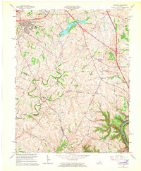
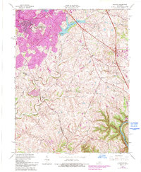
1965 Map of Coletown
USGS Topo · Published 1966About this map
The rolling Bluegrass landscape southeast of Lexington is shown here in the mid-1960s, a period of notable suburban expansion. While the northwestern corner depicts the developing neighborhoods of Lansdowne and Southeastern Hills, the remainder of the map retains its traditional rural character defined by horse country and winding creek beds. The course of East Hickman Creek and West Hickman Creek carve through the limestone terrain, eventually leading toward the deep gorge of the Kentucky River at the southern boundary. This map reveals a network of historic local thoroughfares like Tates Creek Road and Walnut Hill Road, connecting small rural clusters such as Coletown and Walnut Hill. Significant local landmarks include the historic Walnut Hill Ch, the Todds Cem, and the massive Lexington Reservoir No 4, which sits at the center of the sheet.
Find a feature on this map
50 named features on this map. Tap any name to fly to it.
Don’t see what you’re looking for? This feature index may not catch every label — zoom into the map to look around manually.
Map Details
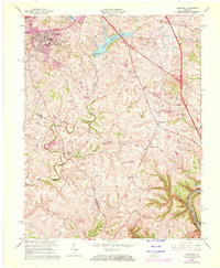
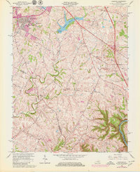
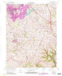
Editions of this 1965 Coletown Map
5 editions found
Other maps of this area

1892 · Richmond
USGS Topo · 1:125,000

1897 · Richmond
USGS Topo · 1:125,000

1905 · Harrodsburg
USGS Topo · 1:125,000

1906 · Georgetown
USGS Topo · 1:62,500

1908 · Georgetown
USGS Topo · 1:62,500

1927 · Lexington
USGS Topo · 1:48,000

1929 · Lexington
USGS Topo · 1:62,500

1950 · Lexington East
USGS Topo · 1:24,000

1950 · Lexington West
USGS Topo · 1:24,000

1952 · Valley View
USGS Topo · 1:24,000
Featured Places
- Lexington, KY
- Southeastern Hills, Lexington
- Coletown, Lexington
- Jonestown, Lexington
- Gainesway, Lexington