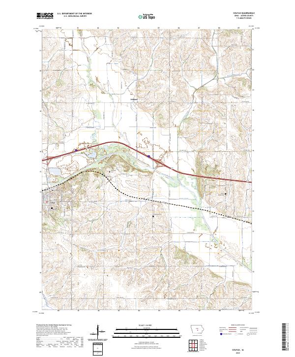
2023 Map of Colfax
USGS Topo · Published 2023About this map
Colfax serves as the primary hub in this portion of Jasper County, situated at the bend of the South Skunk River. The landscape is defined by the river’s broad floodplain and the numerous tributaries that carve through the surrounding hills, including Severs Creek and Prairie Creek. While Colfax shows a more developed street grid with roads like E Division St and E Howard St, the surrounding countryside remains largely rural, dotted with smaller named localities such as Goddard to the north and Metz to the east.
Find a feature on this map
34 named features on this map. Tap any name to fly to it.
Don’t see what you’re looking for? This feature index may not catch every label — zoom into the map to look around manually.
Map Details
Editions of this 2023 Colfax Map
This is the sole edition of this map. No revisions or reprints were ever made.
Other maps of this area

1930 · Mitchellville
USGS Topo · 1:62,500

1954 · Des Moines
USGS Topo · 1:250,000

1956 · Des Moines
USGS Topo · 1:250,000

1957 · Des Moines
USGS Topo · 1:250,000

1965 · Prairie City
USGS Topo · 1:24,000

1965 · Newton
USGS Topo · 1:24,000

1965 · Monroe
USGS Topo · 1:24,000

1965 · Colfax
USGS Topo · 1:24,000

1969 · Des Moines
USGS Topo · 1:250,000
1972 · Runnells
USGS Topo · 1:24,000