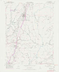
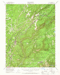
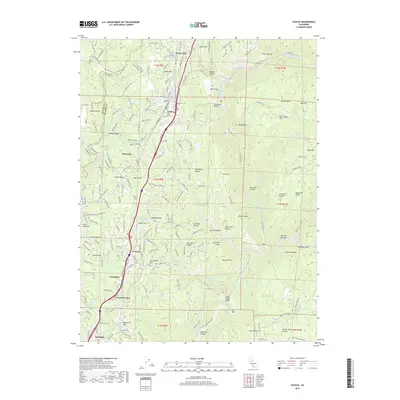
1949 Map of Colfax
USGS Topo · Published 1977About this map
The Southern Pacific railroad corridor serves as the central artery for this mid-century look at the Sierra Nevada foothills, connecting mountain settlements between the Bear River and the North Fork American River. The map captures the significant transition from early Gold Rush foundations to modern infrastructure, locating the Illinoistown (Site) near the more prominent town of Colfax. Mining history is preserved through numerous dormant sites like the Rising Sun Mine and Black Oak Mine, while the Boardman Canal and various flumes trace the vital movement of water through this complex landscape. Smaller communities such as Applegate, Weimar, and New England Mills are shown with their local landmarks, including the Spring Garden Sch and a local sanatorium. High points like Colfax Hill and Big John Hill overlook a network of ravines and canyons, including Shirttail Canyon and Mexican Gulch.
Find a feature on this map
78 named features on this map. Tap any name to fly to it.
Don’t see what you’re looking for? This feature index may not catch every label — zoom into the map to look around manually.
Map Details
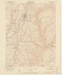
Editions of this 1949 Colfax Map
6 editions found
Historical Maps of Colfax Through Time
14 maps found

1891 Colfax
Placer County, CA

1892 Colfax
Placer County, CA

1894 Colfax
Placer County, CA

1898 Colfax
Placer County, CA

1900 Colfax
Placer County, CA
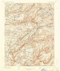
1902 Colfax
Placer County, CA
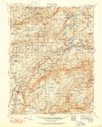
1938 Colfax
Placer County, CA
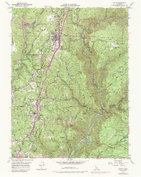
1949 Colfax
Placer County, CA
1950 Colfax
Placer County, CA
1951 Colfax
Placer County, CA
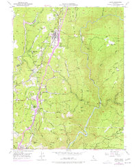
2012 Colfax
Placer County, CA
2015 Colfax
Placer County, CA
2018 Colfax
Placer County, CA
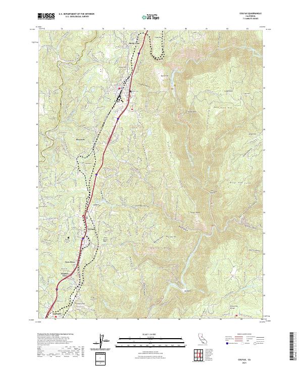
2021 Colfax
Placer County, CA