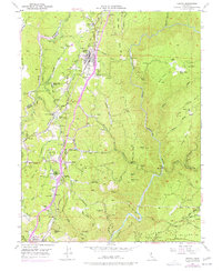
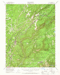
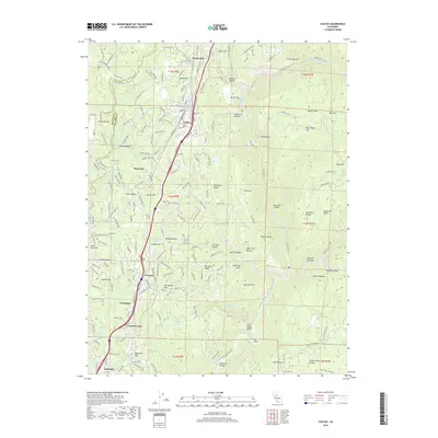
1949 Map of Colfax
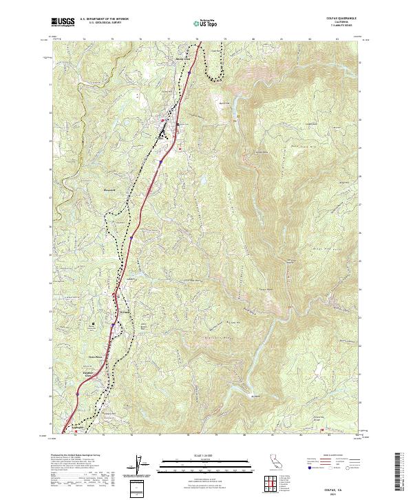
USGS Topo · Published 1988About this map
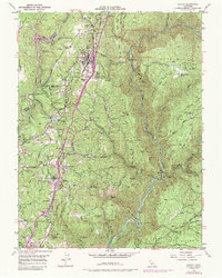
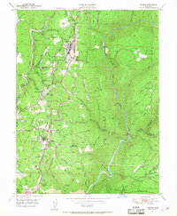
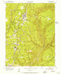
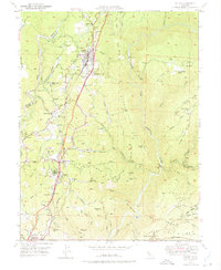
The Southern Pacific RR carves a critical path through this Gold Country landscape, anchoring the development of Colfax and its surrounding ridge-top communities. The map highlights the evolution of the region's infrastructure, showing the transition from early mining sites like the Rising Sun Mine to more established settlements. A notable historical waypoint is the Illinoistown (Site), a former supply hub during the Gold Rush that by this era was recorded primarily as a location of historical memory.
Find a feature on this map
74 named features on this map. Tap any name to fly to it.
Don’t see what you’re looking for? This feature index may not catch every label — zoom into the map to look around manually.
Map Details
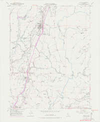
Editions of this 1949 Colfax Map
6 editions found
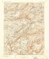
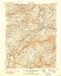
Historical Maps of Colfax Through Time
14 maps found

1891 Colfax
Placer County, CA

1892 Colfax
Placer County, CA

1894 Colfax
Placer County, CA

1898 Colfax
Placer County, CA

1900 Colfax
Placer County, CA
1902 Colfax
Placer County, CA
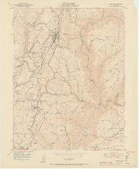
1938 Colfax
Placer County, CA
1949 Colfax
Placer County, CA
1950 Colfax
Placer County, CA
1951 Colfax
Placer County, CA
2012 Colfax
Placer County, CA
2015 Colfax
Placer County, CA
2018 Colfax
Placer County, CA
2021 Colfax
Placer County, CA