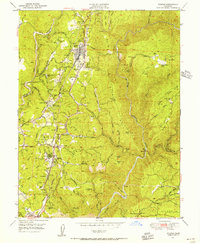
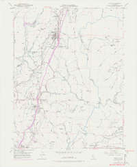
1949 Map of Colfax
USGS Topo · Published 1956About this map
Southern Pacific rail lines anchor the high ground in this mid-century portrait of the Sierra Nevada foothills, tracing a path through the vital transit hub of Colfax. The landscape is a complex network of industrial history and emerging settlements, where the historic Illinoistown site sits just south of the main town. To the east, the terrain drops sharply into the canyon of the North Fork American River, while to the west, the Boardman Canal winds along the contours toward Weimar and Applegate. This area reveals the tail end of the California gold rush era, documented by numerous dormant workings such as the Rising Sun Mine and Welcome Mine. The transition from mining to a more diversified economy is evident in the presence of the Sanatorium near Weimar and several family-named ranches like Hidden Valley Ranch and Diamond Heart Ranch.
Find a feature on this map
74 named features on this map. Tap any name to fly to it.
Don’t see what you’re looking for? This feature index may not catch every label — zoom into the map to look around manually.
Map Details
Editions of this 1949 Colfax Map
6 editions found
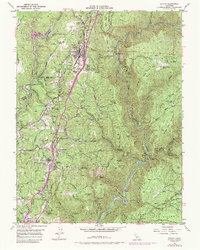
Other maps of this area

1888 · Smartsville
USGS Topo · 1:125,000

1891 · Sacramento
USGS Topo · 1:125,000

1891 · Colfax
USGS Topo · 1:125,000

1891 · Smartsville
USGS Topo · 1:125,000

1891 · Placerville
USGS Topo · 1:125,000

1892 · Sacramento
USGS Topo · 1:125,000

1892 · Placerville
USGS Topo · 1:125,000

1892 · Smartsville
USGS Topo · 1:125,000

1892 · Colfax
USGS Topo · 1:125,000

1893 · Placerville
USGS Topo · 1:125,000