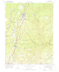
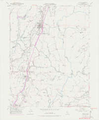
1949 Map of Colfax
USGS Topo · Published 1975About this map
The Southern Pacific railroad corridor serves as the backbone for settlement through this section of the Sierra Nevada foothills during the mid-twentieth century. The transportation network is anchored by Colfax, while historic sites such as Illinoistown and New England Mills reveal the evolution of community centers along these ridges. The landscape is deeply marked by its mining history, featuring numerous dormant operations including the Rising Sun Mine, Bauer Mine, and Black Oak Mine.
Find a feature on this map
72 named features on this map. Tap any name to fly to it.
Don’t see what you’re looking for? This feature index may not catch every label — zoom into the map to look around manually.
Map Details
Editions of this 1949 Colfax Map
6 editions found
Other maps of this area

1888 · Smartsville
USGS Topo · 1:125,000

1891 · Sacramento
USGS Topo · 1:125,000

1891 · Colfax
USGS Topo · 1:125,000

1891 · Smartsville
USGS Topo · 1:125,000

1891 · Placerville
USGS Topo · 1:125,000

1892 · Sacramento
USGS Topo · 1:125,000

1892 · Placerville
USGS Topo · 1:125,000

1892 · Smartsville
USGS Topo · 1:125,000

1892 · Colfax
USGS Topo · 1:125,000

1893 · Placerville
USGS Topo · 1:125,000