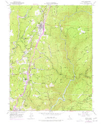
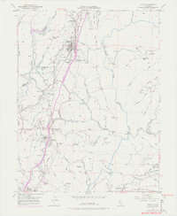
1949 Map of Colfax
USGS Topo · Published 1977About this map
Colfax sits atop its eponymous hill as a critical node along the Southern Pacific railroad line, overlooking the confluence of rail and road commerce in mid-century Placer County. This 1949 survey, with revisions from 1973, details a landscape shaped by both gold-era transit and modern infrastructure. The path of the Donner Trail cuts across the northwest corner, while numerous inactive workings like the Rising Sun Mine and Hinchy Mine are scattered across the ridges. The settlement pattern shows the evolution of the region from the Illinoistown (Site) to active communities at Weimar and Applegate. Water management is central to the area, evidenced by the complex system of canals and siphons feeding into the Bear River and the North Fork American River, which carves through the eastern portion of the quadrangle near the Forest Hill Divide.
Find a feature on this map
93 named features on this map. Tap any name to fly to it.
Don’t see what you’re looking for? This feature index may not catch every label — zoom into the map to look around manually.
Map Details
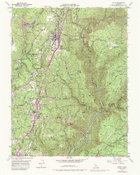
Editions of this 1949 Colfax Map
6 editions found
Other maps of this area

1888 · Smartsville
USGS Topo · 1:125,000

1891 · Sacramento
USGS Topo · 1:125,000

1891 · Colfax
USGS Topo · 1:125,000

1891 · Smartsville
USGS Topo · 1:125,000

1891 · Placerville
USGS Topo · 1:125,000

1892 · Sacramento
USGS Topo · 1:125,000

1892 · Placerville
USGS Topo · 1:125,000

1892 · Smartsville
USGS Topo · 1:125,000

1892 · Colfax
USGS Topo · 1:125,000

1893 · Placerville
USGS Topo · 1:125,000