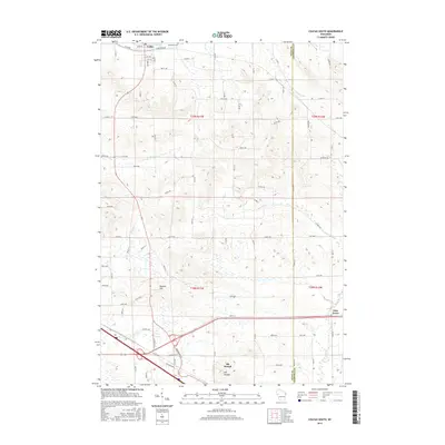
2015 Map of Colfax South
USGS Topo · Published 2015About this map
Colfax sits at the northern edge of this Dunn County landscape, where the waters of Mirror Lake meet the surrounding rural terrain. The geography is defined by a series of south-flowing waterways, including Sinking Cr, Muddy Cr, and Big Elk Cr, which eventually converge into Elk Cr. This drainage pattern influenced the development of the local road network, which transitions from a structured grid near the settlements to more winding routes that follow the contours of the land.
Find a feature on this map
78 named features on this map. Tap any name to fly to it.
Don’t see what you’re looking for? This feature index may not catch every label — zoom into the map to look around manually.
Map Details
Editions of this 2015 Colfax South Map
This is the sole edition of this map. No revisions or reprints were ever made.
Other maps of this area

1934 · Elk Mound
USGS Topo · 1:62,500

1936 · Elk Mound
USGS Topo · 1:62,500

1940 · Menomonie
USGS Topo · 1:62,500

1942 · Menomonie
USGS Topo · 1:62,500

1949 · New Auburn
USGS Topo · 1:62,500

1949 · Ridgeland
USGS Topo · 1:62,500

1951 · Ridgeland
USGS Topo · 1:62,500

1951 · New Auburn
USGS Topo · 1:62,500

1953 · Eau Claire
USGS Topo · 1:250,000

1953 · Rice Lake
USGS Topo · 1:250,000