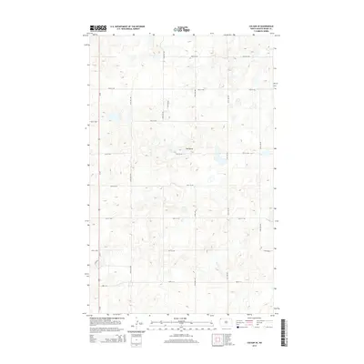
2014 Map of Colgan SE
USGS Topo · Published 2014About this map
Twin Butte rises as the primary landmark in this section of Divide County, North Dakota. The landscape is defined by the rigid section-line grid of the Public Land Survey System, expressed through a network of local roads such as 100th St NW and 135th Ave NW. These routes trace the high-latitude prairie, connecting isolated farms and homesteads across a terrain marked by numerous small depressions and glacial potholes. Us-85 serves as the main north-south artery along the western edge of the quadrangle, providing a vital link for the rural agricultural economy. The survey documents the fine-grained distribution of water and relief, showing the subtle drainage patterns that characterize this corner of the state near the Canadian border.
Find a feature on this map
16 named features on this map. Tap any name to fly to it.
Don’t see what you’re looking for? This feature index may not catch every label — zoom into the map to look around manually.
Map Details
Editions of this 2014 Colgan SE Map
This is the sole edition of this map. No revisions or reprints were ever made.
Other maps of this area

1948 · Smoky Butte
USGS Topo · 1:24,000

1948 · Crosby SW
USGS Topo · 1:24,000

1948 · Ambrose
USGS Topo · 1:24,000

1948 · Stady
USGS Topo · 1:24,000

1948 · Bright Water Lake
USGS Topo · 1:24,000

1950 · Crosby
USGS Topo · 1:62,500

1953 · Williston
USGS Topo · 1:250,000

1957 · Williston
USGS Topo · 1:250,000

1983 · Colgan West
USGS Topo · 1:24,000

1983 · Alexandria
USGS Topo · 1:24,000