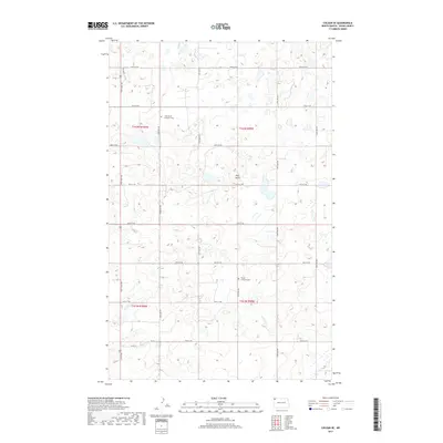
2017 Map of Colgan SE
USGS Topo · Published 2017About this map
Twin Butte rises as a prominent landmark in this section of Divide County, anchoring a landscape defined by the geometric precision of the Public Land Survey System. The map reveals the rural infrastructure of the late 2010s, where a network of numbered section roads like 100th St NW and 136th Ave NW grid the plains. For genealogists and local historians, the sheet preserves the locations of vital community anchors, specifically Twin Butte Lutheran Cem and Trinity Lutheran Cem. These sites, along with the proximity of Co Rd 14, reflect the enduring settlement patterns of a region where wide-open spaces are punctuated by historic congregational markers and family plots.
Find a feature on this map
24 named features on this map. Tap any name to fly to it.
Don’t see what you’re looking for? This feature index may not catch every label — zoom into the map to look around manually.
Map Details
Editions of this 2017 Colgan SE Map
This is the sole edition of this map. No revisions or reprints were ever made.
Other maps of this area

1948 · Smoky Butte
USGS Topo · 1:24,000

1948 · Crosby SW
USGS Topo · 1:24,000

1948 · Ambrose
USGS Topo · 1:24,000

1948 · Stady
USGS Topo · 1:24,000

1948 · Bright Water Lake
USGS Topo · 1:24,000

1950 · Crosby
USGS Topo · 1:62,500

1953 · Williston
USGS Topo · 1:250,000

1957 · Williston
USGS Topo · 1:250,000

1983 · Colgan West
USGS Topo · 1:24,000

1983 · Alexandria
USGS Topo · 1:24,000