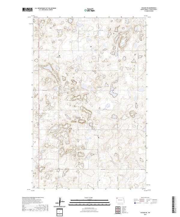
2024 Map of Colgan SE
USGS Topo · Published 2024About this map
Twin Butte rises as a prominent landmark in this section of Divide County, anchoring a landscape defined by the prairie pothole region of the northern Great Plains. The map highlights the area's spiritual and social history through the presence of the Twin Butte Lutheran Cem and Trinity Lutheran Cem, which stand as enduring markers of early rural congregation sites. This 2024 survey documents a region where agricultural land use is balanced with conservation efforts, most notably within the Divide County Waterfowl Production Area. A systematic grid of section lines and local routes like 130th Ave NW and Co Rd 14 provides access to these remote parcels, illustrating the persistent 160-acre homesteading pattern established over a century ago in the northwestern corner of the state.
Find a feature on this map
25 named features on this map. Tap any name to fly to it.
Don’t see what you’re looking for? This feature index may not catch every label — zoom into the map to look around manually.
Map Details
Editions of this 2024 Colgan SE Map
This is the sole edition of this map. No revisions or reprints were ever made.
Other maps of this area

1948 · Smoky Butte
USGS Topo · 1:24,000

1948 · Crosby SW
USGS Topo · 1:24,000

1948 · Ambrose
USGS Topo · 1:24,000

1948 · Stady
USGS Topo · 1:24,000

1948 · Bright Water Lake
USGS Topo · 1:24,000

1950 · Crosby
USGS Topo · 1:62,500

1953 · Williston
USGS Topo · 1:250,000

1957 · Williston
USGS Topo · 1:250,000

1983 · Colgan West
USGS Topo · 1:24,000

1983 · Alexandria
USGS Topo · 1:24,000