
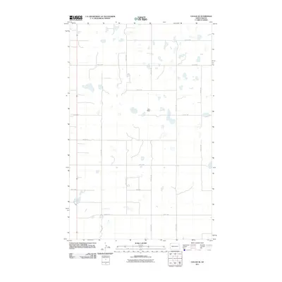
1983 Map of Colgan West
USGS Topo · Published 1984About this map
The international border between Saskatchewan and North Dakota defines the northern edge of this Divide County landscape, where the prairie meets the Canadian frontier. The Soo Line railroad cuts across the terrain, serving the small community of Colgan. This era shows a region defined by agricultural infrastructure and topographical depressions, including the prominent Goose Lake and various smaller water bodies. The presence of Storage Bins and a Gravel Pit along the rail corridor highlights the industrial and shipping needs of the local farming economy. Distinct topographical regions such as Gooseneck Valley, Lincoln Valley, Dewitt, and Clinton provide a clear view of how early surveying divided this vast northern plains territory into organized townships and valleys.
Find a feature on this map
13 named features on this map. Tap any name to fly to it.
Don’t see what you’re looking for? This feature index may not catch every label — zoom into the map to look around manually.
Map Details
Editions of this 1983 Colgan West Map
This is the sole edition of this map. No revisions or reprints were ever made.
Other maps of this area

1953 · Williston
USGS Topo · 1:250,000

1957 · Williston
USGS Topo · 1:250,000

1983 · Writing Rock North
USGS Topo · 1:24,000

1983 · Alexandria
USGS Topo · 1:24,000
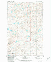
1983 · Fortuna
USGS Topo · 1:24,000
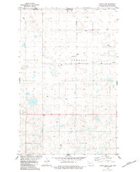
1983 · Colgan East
USGS Topo · 1:24,000
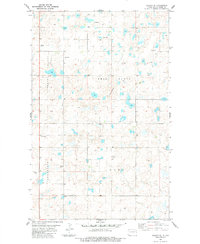
1983 · Colgan SE
USGS Topo · 1:24,000

1984 · Crosby
USGS Topo · 1:100,000
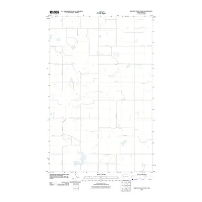
2011 · Writing Rock North
USGS Topo · 1:24,000
2011 · Colgan SE
USGS Topo · 1:24,000